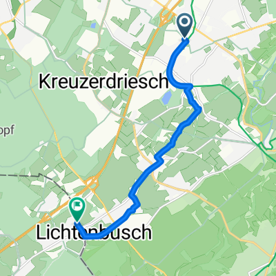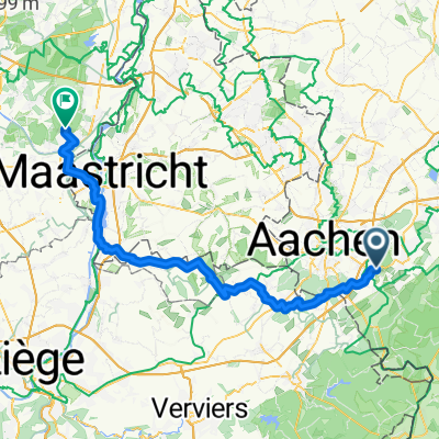
Aachen - Lanaken
- 67.9 km
- 523 m
- 703 m
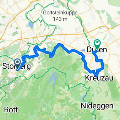
- Stolberg, North Rhine-Westphalia, Germany
A cycling route starting in Stolberg, North Rhine-Westphalia, Germany.
Overview
nice evening ride, especially suitable for trekking bikes
created this 17 years ago
Route quality
Track
12.3 km
(57 %)
Quiet road
3.7 km
(17 %)
Paved
8.8 km
(41 %)
Unpaved
9.3 km
(43 %)
Gravel
8.8 km
(41 %)
Asphalt
6.9 km
(32 %)
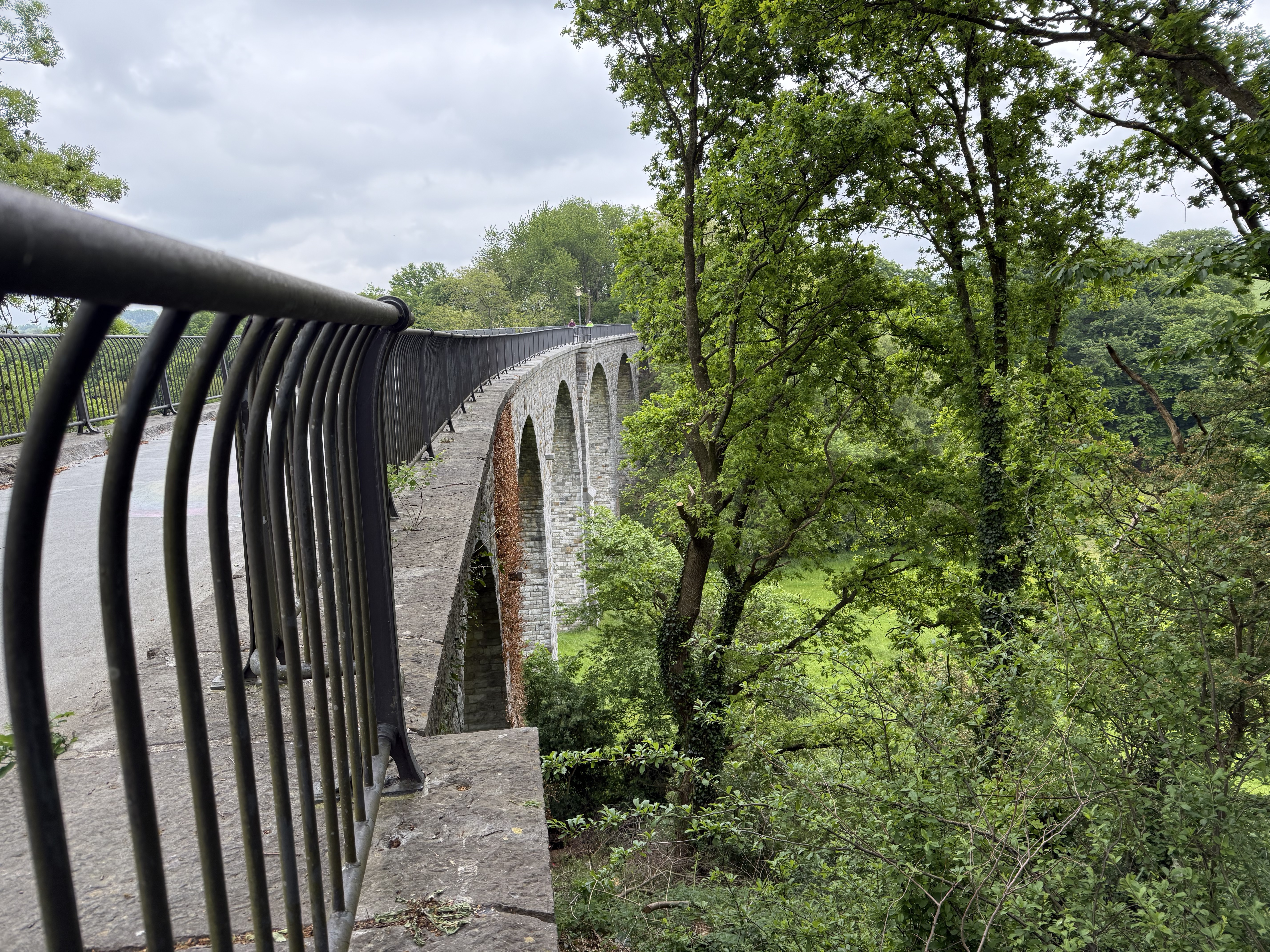
Route highlights
Continue with Bikemap
You would like to ride Breinig-Dreilägerbachtalsperre-Breinig or customize it for your own trip? Here is what you can do with this Bikemap route:
Free trial for 3 days, or one-time payment. More about Bikemap Premium.
Discover more Premium features.
Get Bikemap PremiumFrom our community
Open it in the app