

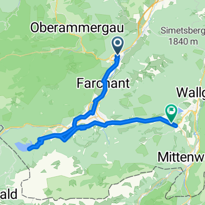
Oberau - Namloser Tal - Oberau
A cycling route starting in Oberau, Bavaria, Germany.
Overview
About this route
ridden on 09.04.2011
riding time 4:40:00 hrs
average 28.26 km/h
- -:--
- Duration
- 128 km
- Distance
- 1,112 m
- Ascent
- 1,112 m
- Descent
- ---
- Avg. speed
- ---
- Max. altitude
Gromat
created this 14 years ago
Route quality
Waytypes & surfaces along the route
Waytypes
Quiet road
9 km
(7 %)
Track
7.7 km
(6 %)
Surfaces
Paved
119.1 km
(93 %)
Unpaved
5.1 km
(4 %)
Asphalt
117.8 km
(92 %)
Loose gravel
2.6 km
(2 %)
Continue with Bikemap
Use, edit, or download this cycling route
You would like to ride Oberau - Namloser Tal - Oberau or customize it for your own trip? Here is what you can do with this Bikemap route:
Free features
- Save this route as favorite or in collections
- Copy & plan your own version of this route
- Split it into stages to create a multi-day tour
- Sync your route with Garmin or Wahoo
Premium features
Free trial for 3 days, or one-time payment. More about Bikemap Premium.
- Navigate this route on iOS & Android
- Export a GPX / KML file of this route
- Create your custom printout (try it for free)
- Download this route for offline navigation
Discover more Premium features.
Get Bikemap PremiumFrom our community
Other popular routes starting in Oberau
- BRB-3 Bella Ronda Bavarica - Tag 3 - Von Oberau nach Klais - 47,3km 760hm
- 49 km
- 1,159 m
- 883 m
- Oberau, Bavaria, Germany
- Alpen Oberau Garmisch 2
- 11.3 km
- 52 m
- 35 m
- Oberau, Bavaria, Germany
- 2014 - 4. Tag Oberau - Igels
- 97.2 km
- 959 m
- 745 m
- Oberau, Bavaria, Germany
- Oberau - Namloser Tal - Oberau
- 128 km
- 1,112 m
- 1,112 m
- Oberau, Bavaria, Germany
- Oberau-Weilheim ü Kohlgrub
- 48.3 km
- 305 m
- 394 m
- Oberau, Bavaria, Germany
- Oberau - Murnau - Seeshaupt - Penzberg - Kochel - Oberau
- 94.3 km
- 474 m
- 492 m
- Oberau, Bavaria, Germany
- Mühlstraße, Oberau nach Levelingstraße, München
- 97.4 km
- 535 m
- 663 m
- Oberau, Bavaria, Germany


Open it in the app