

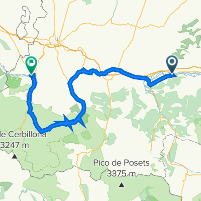
09-D. Saint-Gaudens - Plateau de Beille (169 Km)
A cycling route starting in Saint-Gaudens, Occitanie, France.
Overview
About this route
- -:--
- Duration
- 169 km
- Distance
- 5,846 m
- Ascent
- 4,459 m
- Descent
- ---
- Avg. speed
- 1,784 m
- Max. altitude
Route quality
Waytypes & surfaces along the route
Waytypes
Road
43.9 km
(26 %)
Quiet road
1.7 km
(1 %)
Surfaces
Paved
113.2 km
(67 %)
Asphalt
113.2 km
(67 %)
Undefined
55.8 km
(33 %)
Route highlights
Points of interest along the route
Point of interest after 28.2 km
Col de PORTET d'ASPET (2) Km 29,3 · 1.069 m
Point of interest after 64.6 km
Col de LA CORE (1) Km 64,8 · 1.395 m
Point of interest after 106.8 km
Col d'AGNES (HC) Km 106,5 · 1.570 m
Point of interest after 115.4 km
Port de LERS (3) Km 115,2 · 1.517 m
Point of interest after 143.4 km
Sprint TARASCON-SUR-ARIÈGE Km 142,7
Point of interest after 169 km
PLATEAU DE BEILLE (HC) Km 169 · 1.784 m
Continue with Bikemap
Use, edit, or download this cycling route
You would like to ride 09-D. Saint-Gaudens - Plateau de Beille (169 Km) or customize it for your own trip? Here is what you can do with this Bikemap route:
Free features
- Save this route as favorite or in collections
- Copy & plan your own version of this route
- Split it into stages to create a multi-day tour
- Sync your route with Garmin or Wahoo
Premium features
Free trial for 3 days, or one-time payment. More about Bikemap Premium.
- Navigate this route on iOS & Android
- Export a GPX / KML file of this route
- Create your custom printout (try it for free)
- Download this route for offline navigation
Discover more Premium features.
Get Bikemap PremiumFrom our community
Other popular routes starting in Saint-Gaudens
 2014 Ride Day 86 - St-Gaudens to l'Isle Jourdain
- Distance
- 98.1 km
- Ascent
- 361 m
- Descent
- 587 m
- Location
- Saint-Gaudens, Occitanie, France
 2016 Ride Day 55 - St-Gaudens to Pamiers
- Distance
- 118.8 km
- Ascent
- 544 m
- Descent
- 638 m
- Location
- Saint-Gaudens, Occitanie, France
 2019-04 St-Gaudens Circle to the South
- Distance
- 60.8 km
- Ascent
- 741 m
- Descent
- 741 m
- Location
- Saint-Gaudens, Occitanie, France
 R19 Saint Gaudens - TOURMALET - Lourdes
- Distance
- 136.4 km
- Ascent
- 2,821 m
- Descent
- 2,839 m
- Location
- Saint-Gaudens, Occitanie, France
 09-D. Saint-Gaudens - Plateau de Beille (169 Km)
- Distance
- 169 km
- Ascent
- 5,846 m
- Descent
- 4,459 m
- Location
- Saint-Gaudens, Occitanie, France
 Saint Gaudens- Barbastro
- Distance
- 203.1 km
- Ascent
- 3,092 m
- Descent
- 3,048 m
- Location
- Saint-Gaudens, Occitanie, France
 Saint-Gaudens - AURIGNAC - MANCIOUX - ST GAUDENS
- Distance
- 59 km
- Ascent
- 386 m
- Descent
- 386 m
- Location
- Saint-Gaudens, Occitanie, France
- ddjk
- Distance
- 67.7 km
- Ascent
- ---
- Descent
- ---
- Location
- Saint-Gaudens, Occitanie, France
Open it in the app