

Llangollen Canal Walk
A cycling route starting in Stoke-on-Trent, England, United Kingdom.
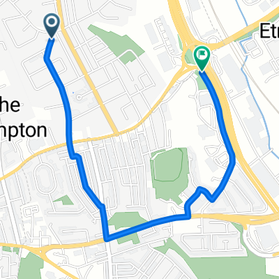
Overview
About this route
- -:--
- Duration
- 128 km
- Distance
- 111 m
- Ascent
- 130 m
- Descent
- ---
- Avg. speed
- 149 m
- Max. altitude
Route quality
Waytypes & surfaces along the route
Waytypes
Pedestrian area
87.3 km
(68 %)
Cycleway
21.1 km
(16 %)
Surfaces
Paved
15.7 km
(12 %)
Unpaved
29.6 km
(23 %)
Gravel
17.2 km
(13 %)
Asphalt
14.9 km
(12 %)
Route highlights
Points of interest along the route
Accommodation after 22.5 km
Wheatsheaf Hotel
Continue with Bikemap
Use, edit, or download this cycling route
You would like to ride Llangollen Canal Walk or customize it for your own trip? Here is what you can do with this Bikemap route:
Free features
- Save this route as favorite or in collections
- Copy & plan your own version of this route
- Split it into stages to create a multi-day tour
- Sync your route with Garmin or Wahoo
Premium features
Free trial for 3 days, or one-time payment. More about Bikemap Premium.
- Navigate this route on iOS & Android
- Export a GPX / KML file of this route
- Create your custom printout (try it for free)
- Download this route for offline navigation
Discover more Premium features.
Get Bikemap PremiumFrom our community
Other popular routes starting in Stoke-on-Trent
 Tour De Monde 2009
- Distance
- 24.9 km
- Ascent
- 288 m
- Descent
- 293 m
- Location
- Stoke-on-Trent, England, United Kingdom
 From Newcastle-under-Lyme to Stoke-on-Trent
- Distance
- 2.4 km
- Ascent
- 25 m
- Descent
- 43 m
- Location
- Stoke-on-Trent, England, United Kingdom
 d4 120 km
- Distance
- 117.5 km
- Ascent
- 1,136 m
- Descent
- 1,226 m
- Location
- Stoke-on-Trent, England, United Kingdom
 Titanic Pubs Only
- Distance
- 189.1 km
- Ascent
- 817 m
- Descent
- 815 m
- Location
- Stoke-on-Trent, England, United Kingdom
 Ride around Newcastle
- Distance
- 21 km
- Ascent
- 172 m
- Descent
- 169 m
- Location
- Stoke-on-Trent, England, United Kingdom
 canal
canal- Distance
- 36 km
- Ascent
- 103 m
- Descent
- 101 m
- Location
- Stoke-on-Trent, England, United Kingdom
 LCW Day 1 24kms
- Distance
- 24.4 km
- Ascent
- 61 m
- Descent
- 113 m
- Location
- Stoke-on-Trent, England, United Kingdom
 09newcastle under lyme-rocksavage
- Distance
- 64.7 km
- Ascent
- 203 m
- Descent
- 320 m
- Location
- Stoke-on-Trent, England, United Kingdom
Open it in the app