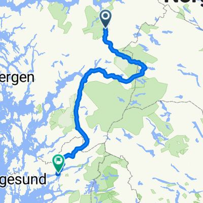
Nedre Brekkevegen 34 do Nedre Brekkevegen 34
- 8.8 km
- 105 m
- 102 m
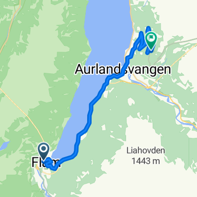
- Aurlandsvangen, Sogn og Fjordane, Norway
A cycling route starting in Aurlandsvangen, Sogn og Fjordane, Norway.
Overview
created this 4 years ago
Route quality
Cycleway
94.7 km
(27 %)
Quiet road
56.1 km
(16 %)
Paved
210.3 km
(60 %)
Unpaved
101.7 km
(29 %)
Asphalt
210.3 km
(60 %)
Gravel
94.7 km
(27 %)
Route highlights
Camping day 1 37km
Camping day 2 57km
Camping day 3 115km
Day 4 camping 170km
Camping day 5 242km
Day 6 camping Hotel? 316km
Final stop Boat at 17.10 360km
Continue with Bikemap
You would like to ride BIG SUMMER CYCLE FINSE - OSLO or customize it for your own trip? Here is what you can do with this Bikemap route:
Free trial for 3 days, or one-time payment. More about Bikemap Premium.
Discover more Premium features.
Get Bikemap PremiumFrom our community
Open it in the app