Badia-Asciano-Badia
A cycling route starting in Ambra, Tuscany, Italy.
Overview
About this route
Beautiful tour through the typical Tuscan landscape of the Crete
- -:--
- Duration
- 51.8 km
- Distance
- 748 m
- Ascent
- 790 m
- Descent
- ---
- Avg. speed
- 327 m
- Max. altitude
Route quality
Waytypes & surfaces along the route
Waytypes
Track
12.4 km
(24 %)
Road
8.8 km
(17 %)
Surfaces
Paved
28 km
(54 %)
Unpaved
11.9 km
(23 %)
Asphalt
21.3 km
(41 %)
Loose gravel
11.4 km
(22 %)
Route highlights
Points of interest along the route
Point of interest after 21.7 km
Ab hier sind cá 12Km Schotterweg bis Asciano zurückzulegen
Point of interest after 51.8 km
Hier endet die Schotterstrasse. Sehenswert ist der Friedhof am Ortseingang von Asciano
Point of interest after 51.8 km
Hier endet der Schotterweg. Der Friedhof am Ortseingang von Asciano ist sehenswert
Continue with Bikemap
Use, edit, or download this cycling route
You would like to ride Badia-Asciano-Badia or customize it for your own trip? Here is what you can do with this Bikemap route:
Free features
- Save this route as favorite or in collections
- Copy & plan your own version of this route
- Sync your route with Garmin or Wahoo
Premium features
Free trial for 3 days, or one-time payment. More about Bikemap Premium.
- Navigate this route on iOS & Android
- Export a GPX / KML file of this route
- Create your custom printout (try it for free)
- Download this route for offline navigation
Discover more Premium features.
Get Bikemap PremiumFrom our community
Other popular routes starting in Ambra
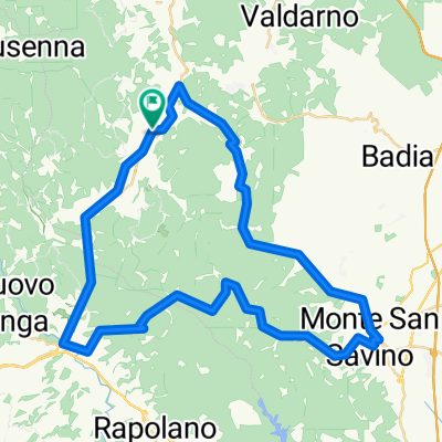
Badia-Asciano-Badia CLONED FROM ROUTE 91067- Distance
- 51.9 km
- Ascent
- 381 m
- Descent
- 434 m
- Location
- Ambra, Tuscany, Italy
Vepri- Faltona- Distance
- 44.1 km
- Ascent
- 933 m
- Descent
- 571 m
- Location
- Ambra, Tuscany, Italy
Badia-Asciano-Badia- Distance
- 51.8 km
- Ascent
- 748 m
- Descent
- 790 m
- Location
- Ambra, Tuscany, Italy
Montebenichi-Gaiole-Montebenichi- Distance
- 48.5 km
- Ascent
- 1,085 m
- Descent
- 1,102 m
- Location
- Ambra, Tuscany, Italy
Cennina 82km/1370hm- Distance
- 82.1 km
- Ascent
- 1,058 m
- Descent
- 1,059 m
- Location
- Ambra, Tuscany, Italy
Badia-Siena-Badia- Distance
- 95.2 km
- Ascent
- 1,186 m
- Descent
- 1,158 m
- Location
- Ambra, Tuscany, Italy
Cennina 42km/1030hm- Distance
- 42.2 km
- Ascent
- 927 m
- Descent
- 928 m
- Location
- Ambra, Tuscany, Italy
Circle one - Ambra - San Pancrazio - Monte S.Savino - Palazzuolo - Colonna del Grillo - Ambra- Distance
- 56 km
- Ascent
- 645 m
- Descent
- 646 m
- Location
- Ambra, Tuscany, Italy
Open it in the app

