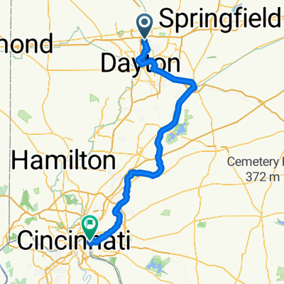
Rip Road Road Park to Taylorsville Metropike on GMBT
A cycling route starting in Huber Heights, Ohio, United States.
Overview
About this route
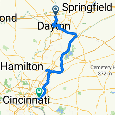
Rip Rap Road Park to Taylorsville Metropark to Rip Rap Road Park on the Great Miami Bike TrailÂ
- -:--
- Duration
- 6.9 km
- Distance
- 33 m
- Ascent
- 35 m
- Descent
- ---
- Avg. speed
- 251 m
- Max. altitude
Route quality
Waytypes & surfaces along the route
Waytypes
Cycleway
6.9 km
(100 %)
Route highlights
Points of interest along the route
Point of interest after 0 km
Rip Road Road Park Parking
Continue with Bikemap
Use, edit, or download this cycling route
You would like to ride Rip Road Road Park to Taylorsville Metropike on GMBT or customize it for your own trip? Here is what you can do with this Bikemap route:
Free features
- Save this route as favorite or in collections
- Copy & plan your own version of this route
- Sync your route with Garmin or Wahoo
Premium features
Free trial for 3 days, or one-time payment. More about Bikemap Premium.
- Navigate this route on iOS & Android
- Export a GPX / KML file of this route
- Create your custom printout (try it for free)
- Download this route for offline navigation
Discover more Premium features.
Get Bikemap PremiumFrom our community
Other popular routes starting in Huber Heights
- Thursday, July 22, 2021 Ride
- Distance
- 10.7 km
- Ascent
- 33 m
- Descent
- 34 m
- Location
- Huber Heights, Ohio, United States
- 6712 Longford Rd, Huber Heights to 315 E First St, Dayton
- Distance
- 42.3 km
- Ascent
- 133 m
- Descent
- 210 m
- Location
- Huber Heights, Ohio, United States
- Huber Heights to Huber Heights
- Distance
- 39.8 km
- Ascent
- 249 m
- Descent
- 250 m
- Location
- Huber Heights, Ohio, United States
- Huber Heights to 81–99 E Monument Ave, Dayton
- Distance
- 23.3 km
- Ascent
- 68 m
- Descent
- 145 m
- Location
- Huber Heights, Ohio, United States
- Rip Rap Station to Adams Street
- Distance
- 27.9 km
- Ascent
- 70 m
- Descent
- 50 m
- Location
- Huber Heights, Ohio, United States
- 4929 Country Park Dr, Huber Heights to 4929 Country Park Dr, Huber Heights
- Distance
- 15.4 km
- Ascent
- 54 m
- Descent
- 58 m
- Location
- Huber Heights, Ohio, United States
- 6100–6118 Tomberg St, Huber Heights to 3711 Inpark Dr, Dayton
- Distance
- 7.8 km
- Ascent
- 4 m
- Descent
- 38 m
- Location
- Huber Heights, Ohio, United States
- From Dayton to Harrisburg
- Distance
- 1,055.3 km
- Ascent
- 9,874 m
- Descent
- 9,994 m
- Location
- Huber Heights, Ohio, United States
Open it in the app