


Tour de Bourgogne
Etappe 2
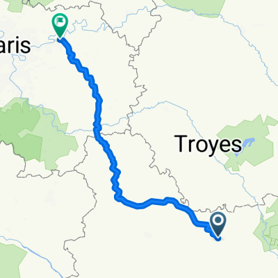
A cycling route starting in Ancy-le-Franc, Bourgogne-Franche-Comté, France.
Overview
About this route
0
- 8:46 h
- Duration
- 76.5 km
- Distance
- 356 m
- Ascent
- 185 m
- Descent
- 8.7 km/h
- Avg. speed
- ---
- Max. altitude
Erwin MOSSELMANS
created this 4 years ago
Part of
Tour de Bourgogne
8 stages
Route quality
Waytypes & surfaces along the route
Waytypes
Path
23 km
30 %
Cycleway
19.9 km
26 %
Surfaces
Paved
35.2 km
(46 %)
Unpaved
13 km
(17 %)
Asphalt
35.2 km
46 %
Unpaved (undefined)
12.2 km
16 %
Continue with Bikemap
Use, edit, or download this cycling route
You would like to ride Etappe 2 or customize it for your own trip? Here is what you can do with this Bikemap route:
Free features
- Save this route as favorite or in collections
- Copy & plan your own version of this route
- Sync your route with Garmin or Wahoo
Premium features
Free trial for 3 days, or one-time payment. More about Bikemap Premium.
- Navigate this route on iOS & Android
- Export a GPX / KML file of this route
- Create your custom printout (try it for free)
- Download this route for offline navigation
Discover more Premium features.
Get Bikemap PremiumFrom our community
Other popular routes starting in Ancy-le-Franc


 Ancy-le-Franc - Saint-Julien-du-Sault0
- 84.4 km
- 62 m
- 153 m
- Ancy-le-Franc, Bourgogne-Franche-Comté, France

 Ancy-le-Franc - Saint-Julien-du-Sault0
- 84.3 km
- 59 m
- 151 m
- Ancy-le-Franc, Bourgogne-Franche-Comté, France


Open it in the app