Rund um den Scharmützelsee
- 108 km
- 331 m
- 330 m
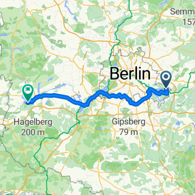
- Rahnsdorf, State of Berlin, Germany
A cycling route starting in Rahnsdorf, State of Berlin, Germany.
Overview
A route that is practically car-free with really beautiful scenery and mostly excellent roads or freshly paved bike paths far from streets.
Leaving Erkner on secondary roads, then a short stretch of bike path, then back to the road until Fürstenwalde.
Beyond that, via the bike path on the route of the disused Oderbruch railway (Caution: quite narrow and occasionally with security gates) up to Seelow. Recommended restaurant there: 'Hotel Brandenburger Hof', quite close behind the town sign.
The B167 was only lightly trafficked, but is mostly also blessed with a very good accompanying bike path.
Behind Reichenberg, you can probably turn towards Reichenow earlier, but I'm not sure...
The bike path from Strausberg to Möglin is wonderfully hilly and ends at the S station Strausberg Nord. However, the S-Bahn only runs every 40 minutes there, it may be reasonable to continue to Strausberg station (from there every 20 minutes and additionally trains to Lichtenberg, but it's not always possible to go by bike) or directly to Hönow (subway).
created this 14 years ago
Route highlights
ein paar Cafés & Bäckereien
Hotel Brandenburger Hof http://hotel-seelow.de/hotel4.php
Tankstelle ('Jet', immer bis 22 Uhr)
Continue with Bikemap
You would like to ride Seelow 2011 or customize it for your own trip? Here is what you can do with this Bikemap route:
Free trial for 3 days, or one-time payment. More about Bikemap Premium.
Discover more Premium features.
Get Bikemap PremiumFrom our community
Open it in the app