De Route de Saconay 243, Pomeys 脿 Route de Saconay 243, Pomeys
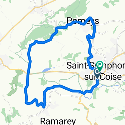
A cycling route starting in Saint-Symphorien-sur-Coise, Auvergne-Rh么ne-Alpes, France.
Overview
About this route
- 3 h 37 min
- Duration
- 64.4 km
- Distance
- 2,689 m
- Ascent
- 2,673 m
- Descent
- 17.8 km/h
- Avg. speed
- ---
- Avg. speed
Route photos
Route quality
Waytypes & surfaces along the route
Waytypes
Busy road
45.4 km
(71 %)
Road
16.3 km
(25 %)
Surfaces
Paved
41.6 km
(65 %)
Asphalt
41.5 km
(64 %)
Paved (undefined)
0.1 km
(<1 %)
Undefined
22.8 km
(35 %)
Continue with Bikemap
Use, edit, or download this cycling route
You would like to ride De Route de Saconay 243, Pomeys 脿 Route de Saconay 243, Pomeys or customize it for your own trip? Here is what you can do with this Bikemap route:
Free features
- Save this route as favorite or in collections
- Copy & plan your own version of this route
- Sync your route with Garmin or Wahoo
Premium features
Free trial for 3 days, or one-time payment. More about Bikemap Premium.
- Navigate this route on iOS & Android
- Export a GPX / KML file of this route
- Create your custom printout (try it for free)
- Download this route for offline navigation
Discover more Premium features.
Get Bikemap PremiumFrom our community
Other popular routes starting in Saint-Symphorien-sur-Coise
- De Route de Saconay 243, Pomeys 脿 Route de Saconay 243, Pomeys
- Distance
- 64.4 km
- Ascent
- 2,689 m
- Descent
- 2,673 m
- Location
- Saint-Symphorien-sur-Coise, Auvergne-Rh么ne-Alpes, France
- Coise St Sym round trip
- Distance
- 8.9 km
- Ascent
- 246 m
- Descent
- 246 m
- Location
- Saint-Symphorien-sur-Coise, Auvergne-Rh么ne-Alpes, France
- De Route de Saconay 243, Pomeys 脿 Route de Saconay 243, Pomeys
- Distance
- 64.4 km
- Ascent
- 2,689 m
- Descent
- 2,673 m
- Location
- Saint-Symphorien-sur-Coise, Auvergne-Rh么ne-Alpes, France
- 6. Lac des Hongues to St Antieme
- Distance
- 53.8 km
- Ascent
- 925 m
- Descent
- 555 m
- Location
- Saint-Symphorien-sur-Coise, Auvergne-Rh么ne-Alpes, France
- De 165 Route de Saint-Symphorien sur Coise, Saint-Denis-sur-Coise 脿 1476 Route de Chazelles-sur-Lyon, Saint-Denis-sur-Coise
- Distance
- 14.9 km
- Ascent
- 413 m
- Descent
- 496 m
- Location
- Saint-Symphorien-sur-Coise, Auvergne-Rh么ne-Alpes, France
- 113 Chemin du Plat, Saint-Denis-sur-Coise 脿 295 La Gaudi猫re, Saint-Symphorien-sur-Coise
- Distance
- 3 km
- Ascent
- 127 m
- Descent
- 9 m
- Location
- Saint-Symphorien-sur-Coise, Auvergne-Rh么ne-Alpes, France
- etapa5paris-niceSaint-Symphorien-sur-Coise-Vernoux-en-Vivarais
- Distance
- 188.3 km
- Ascent
- 2,571 m
- Descent
- 2,572 m
- Location
- Saint-Symphorien-sur-Coise, Auvergne-Rh么ne-Alpes, France
- Coise round trip
- Distance
- 7.8 km
- Ascent
- 259 m
- Descent
- 259 m
- Location
- Saint-Symphorien-sur-Coise, Auvergne-Rh么ne-Alpes, France
Open it in the app