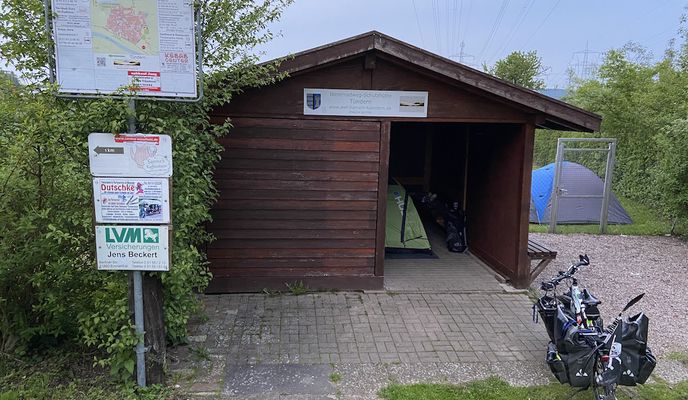
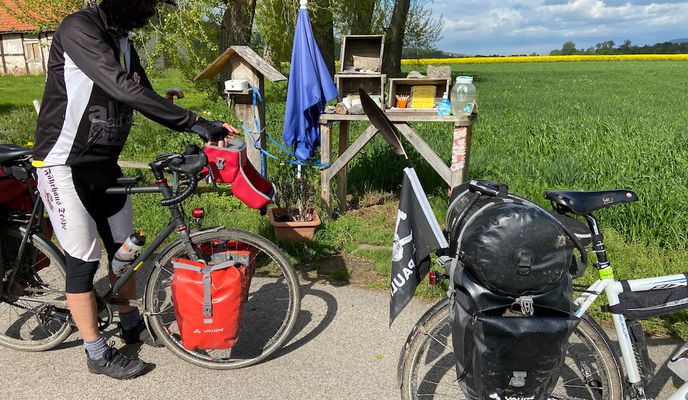
14/16 Hameln (Schutzhütte Tünder) - Hagenburg (Steinhuder Meer)
A cycling route starting in Hamelin, Lower Saxony, Germany.
Overview
About this route
21.05.2021 (Fr.) Hameln (Schutzhütte Tünder) - Rinteln - Uffeln - Porta Westfalica - Minden - Cammer - Wölpinghausen - Hagenburg (Steinhuder Meer)
It is a part of »Tour d'Allemagne / Germany 2021«. All Routes in Collection: »Tour: Germany 2021«
← (previous) 13/16 Hannoversch Münden - Hameln (Schutzhütte Tünder)
→ (next) 15/16 Hagenburg (Steinhuder Meer) - Soltau
Hinweis: Streckenverlauf von Wiedenbrügge nach Hagenburg ist hier sehr ungünstig gefahren! Besser fährt man Richtung Bus-Haltestelle "Schmalenbruch-Mitte" und dann links auf den Radweg abbiegen.
Strecke: 122,5 km | Fahrzeit: 7:18 Std | ø Geschwindigkeit: 16,8 km/h | max. Geschwindigkeit: 40,1 km/h
- -:--
- Duration
- 120.2 km
- Distance
- 549 m
- Ascent
- 563 m
- Descent
- ---
- Avg. speed
- 107 m
- Max. altitude
Route photos
Route quality
Waytypes & surfaces along the route
Waytypes
Track
30.5 km
(25 %)
Path
29.4 km
(24 %)
Surfaces
Paved
94.7 km
(79 %)
Unpaved
17.5 km
(15 %)
Asphalt
69.5 km
(58 %)
Gravel
12.6 km
(10 %)
Route highlights
Points of interest along the route

Point of interest after 6.7 km
Hameln
Drinking water after 35.7 km
Fleischerei Rauch (www.fleischerei-rauch.de)

Drinking water after 55.1 km
Getränke Wichmann

Point of interest after 69.2 km
Porta Westfalica

Photo after 88.4 km
Eichenstämme

Photo after 104 km
Waldweg
Drinking water after 117.9 km
Supermarket + Bäckerei
Continue with Bikemap
Use, edit, or download this cycling route
You would like to ride 14/16 Hameln (Schutzhütte Tünder) - Hagenburg (Steinhuder Meer) or customize it for your own trip? Here is what you can do with this Bikemap route:
Free features
- Save this route as favorite or in collections
- Copy & plan your own version of this route
- Split it into stages to create a multi-day tour
- Sync your route with Garmin or Wahoo
Premium features
Free trial for 3 days, or one-time payment. More about Bikemap Premium.
- Navigate this route on iOS & Android
- Export a GPX / KML file of this route
- Create your custom printout (try it for free)
- Download this route for offline navigation
Discover more Premium features.
Get Bikemap PremiumFrom our community
Other popular routes starting in Hamelin
 Hamel-Minden-Rinteln-Bahnhof
- Distance
- 91 km
- Ascent
- 156 m
- Descent
- 169 m
- Location
- Hamelin, Lower Saxony, Germany
 HM-Bodenwerder-Voremberg-Hameln
- Distance
- 46.4 km
- Ascent
- 275 m
- Descent
- 250 m
- Location
- Hamelin, Lower Saxony, Germany
 Hameln/Weser nach Höxter/Weser
- Distance
- 65.4 km
- Ascent
- 223 m
- Descent
- 199 m
- Location
- Hamelin, Lower Saxony, Germany
 2. Tag Mai 2014 Hameln - Veltheim
- Distance
- 45.1 km
- Ascent
- 27 m
- Descent
- 45 m
- Location
- Hamelin, Lower Saxony, Germany
 Hameln - Klütturm-Runde
- Distance
- 9.8 km
- Ascent
- 362 m
- Descent
- 351 m
- Location
- Hamelin, Lower Saxony, Germany
 Holzweg 4, Hameln nach Holzweg 5, Hameln
- Distance
- 14.1 km
- Ascent
- 236 m
- Descent
- 233 m
- Location
- Hamelin, Lower Saxony, Germany
 Tag2 Pyrmont-Köterb.-Grohnde
- Distance
- 127.3 km
- Ascent
- 1,663 m
- Descent
- 1,664 m
- Location
- Hamelin, Lower Saxony, Germany
 Hameln - Holwert mit Pausen
- Distance
- 327.4 km
- Ascent
- 611 m
- Descent
- 684 m
- Location
- Hamelin, Lower Saxony, Germany
Open it in the app


