

Philippines, Makati to Honradez 8019, Makati
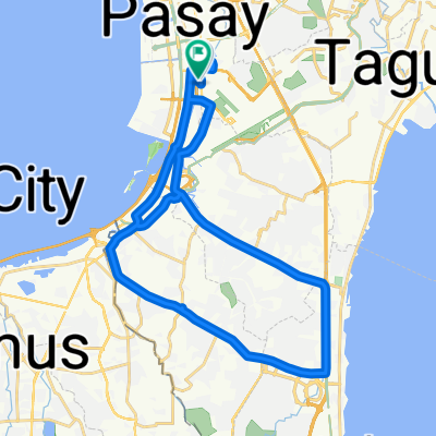
A cycling route starting in Makati City, National Capital Region, Philippines.
Overview
About this route
- 4 h 49 min
- Duration
- 41.5 km
- Distance
- 281 m
- Ascent
- 280 m
- Descent
- 8.6 km/h
- Avg. speed
- ---
- Max. altitude

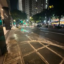
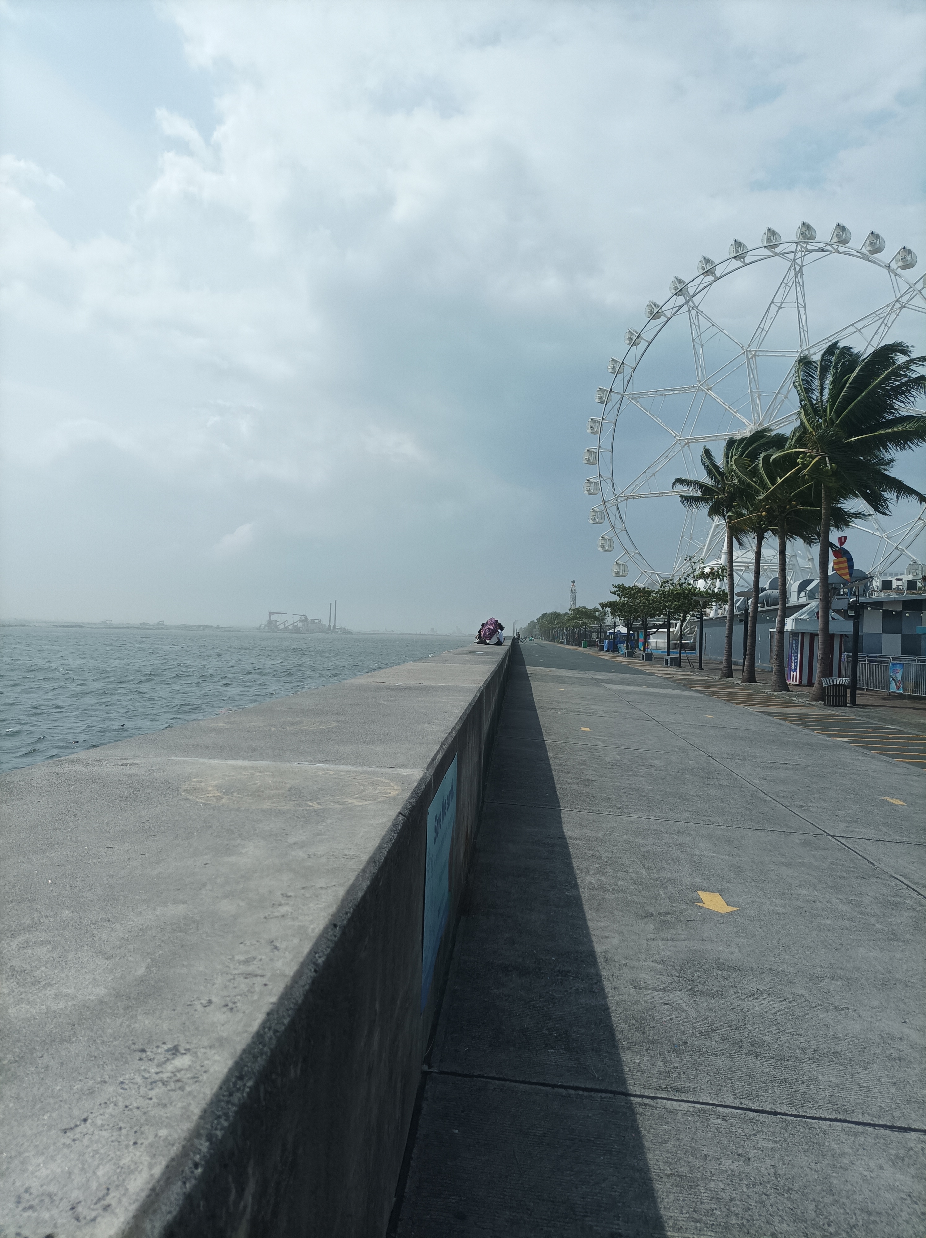
Route photos


Continue with Bikemap
Use, edit, or download this cycling route
You would like to ride Philippines, Makati to Honradez 8019, Makati or customize it for your own trip? Here is what you can do with this Bikemap route:
Free features
- Save this route as favorite or in collections
- Copy & plan your own version of this route
- Sync your route with Garmin or Wahoo
Premium features
Free trial for 3 days, or one-time payment. More about Bikemap Premium.
- Navigate this route on iOS & Android
- Export a GPX / KML file of this route
- Create your custom printout (try it for free)
- Download this route for offline navigation
Discover more Premium features.
Get Bikemap PremiumFrom our community
Other popular routes starting in Makati City
 10th Avenue, Makati to Lane R, Taguig
- Distance
- 1.3 km
- Ascent
- 3 m
- Descent
- 0 m
- Location
- Makati City, National Capital Region, Philippines
 4731 Imus, Makati City to Biak Na Bato, Makati City
- Distance
- 12.4 km
- Ascent
- 6 m
- Descent
- 7 m
- Location
- Makati City, National Capital Region, Philippines
 Philippines, Makati to Honradez 8019, Makati
- Distance
- 41.5 km
- Ascent
- 281 m
- Descent
- 280 m
- Location
- Makati City, National Capital Region, Philippines
 SCHOOL TO EAC
- Distance
- 4.2 km
- Ascent
- 9 m
- Descent
- 4 m
- Location
- Makati City, National Capital Region, Philippines
 Restful route
- Distance
- 43.1 km
- Ascent
- 401 m
- Descent
- 446 m
- Location
- Makati City, National Capital Region, Philippines
 Restful route in
- Distance
- 5.3 km
- Ascent
- 176 m
- Descent
- 173 m
- Location
- Makati City, National Capital Region, Philippines
 Restful route
- Distance
- 34.1 km
- Ascent
- 569 m
- Descent
- 605 m
- Location
- Makati City, National Capital Region, Philippines
 Florante Street, Mandaluyong to Barangay 183, Pasay
- Distance
- 14 km
- Ascent
- 74 m
- Descent
- 78 m
- Location
- Makati City, National Capital Region, Philippines
Open it in the app