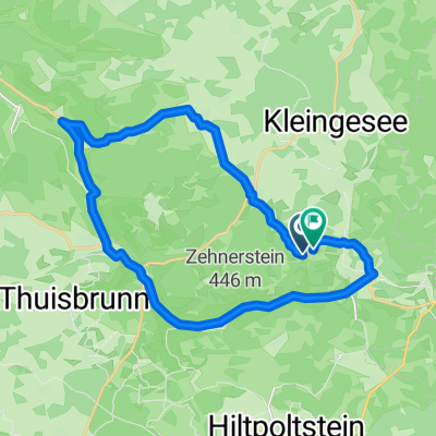
Betzenstein, Stierberg und Jura Elefant
- 9.2 km
- 251 m
- 252 m
- Obertrubach, Bavaria, Germany
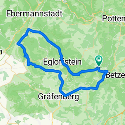
A cycling route starting in Obertrubach, Bavaria, Germany.
Overview
Ruine Bärnfels
Ruine Leienfels
created this 4 years ago
Route quality
Quiet road
16.4 km
(81 %)
Path
1.6 km
(8 %)
Paved
7.5 km
(37 %)
Unpaved
1 km
(5 %)
Asphalt
7.5 km
(37 %)
Gravel
0.4 km
(2 %)
Continue with Bikemap
You would like to ride Obertrubach RF or customize it for your own trip? Here is what you can do with this Bikemap route:
Free trial for 3 days, or one-time payment. More about Bikemap Premium.
Discover more Premium features.
Get Bikemap PremiumFrom our community
Open it in the app