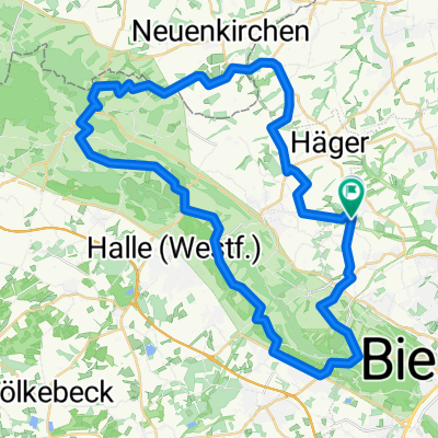
Berg- und Talfahrt im Teutoburger Wald
A cycling route starting in Werther, North Rhine-Westphalia, Germany.
Overview
About this route
This tour is already very demanding and is aimed more at the sportily ambitious cyclist. Nevertheless, one should take enough time and adequately supply themselves with drinks. Since the sports aspect was more in focus on this route, I did not note any special sightseeing points except for a few refreshment options. However, the route offers many wonderful views of nature and landscapes. Also, for this tour, one can easily join from Bielefeld or Werther. If it seems too long, simply do not go straight through the Berghagen at the intersection in Ascheloh, but turn right onto the Grüner Weg towards Werther and finish the tour with a delicious ice cream at the ice cream parlor by the church in Werther. Reinhard 22.09.2007
- -:--
- Duration
- 46.7 km
- Distance
- 615 m
- Ascent
- 610 m
- Descent
- ---
- Avg. speed
- 239 m
- Max. altitude
Route quality
Waytypes & surfaces along the route
Waytypes
Quiet road
21 km
(45 %)
Road
9.3 km
(20 %)
Surfaces
Paved
36 km
(77 %)
Asphalt
31.8 km
(68 %)
Paved (undefined)
4.2 km
(9 %)
Undefined
10.8 km
(23 %)
Route highlights
Points of interest along the route
Point of interest after 3.9 km
Blick zur Schwedenschanze
Point of interest after 7.5 km
Peter auf'm Berge
Point of interest after 12 km
Gaststätte Friedrichshöhe
Point of interest after 12.1 km
Leberblümchenberg
Point of interest after 16.3 km
Hier kann man über Grüner Weg nach Werther abkürzen
Point of interest after 24.9 km
Eisdiele in Borgholzhausen
Point of interest after 37.3 km
Gaststätte Specht
Point of interest after 41.9 km
Gaststätte DREI LINDEN
Continue with Bikemap
Use, edit, or download this cycling route
You would like to ride Berg- und Talfahrt im Teutoburger Wald or customize it for your own trip? Here is what you can do with this Bikemap route:
Free features
- Save this route as favorite or in collections
- Copy & plan your own version of this route
- Sync your route with Garmin or Wahoo
Premium features
Free trial for 3 days, or one-time payment. More about Bikemap Premium.
- Navigate this route on iOS & Android
- Export a GPX / KML file of this route
- Create your custom printout (try it for free)
- Download this route for offline navigation
Discover more Premium features.
Get Bikemap PremiumFrom our community
Other popular routes starting in Werther
 JANKS, von Kröger zum Tierpark
- Distance
- 6.9 km
- Ascent
- 89 m
- Descent
- 88 m
- Location
- Werther, North Rhine-Westphalia, Germany
 Off day 45km
- Distance
- 44.2 km
- Ascent
- 400 m
- Descent
- 401 m
- Location
- Werther, North Rhine-Westphalia, Germany
 Werther Eisdiele Über Häger
- Distance
- 17.8 km
- Ascent
- 164 m
- Descent
- 174 m
- Location
- Werther, North Rhine-Westphalia, Germany
 Trainingsstrecke im Ravensberger Hügelland
- Distance
- 49.2 km
- Ascent
- 493 m
- Descent
- 478 m
- Location
- Werther, North Rhine-Westphalia, Germany
 Berg- und Talfahrt im Teutoburger Wald
- Distance
- 46.7 km
- Ascent
- 615 m
- Descent
- 610 m
- Location
- Werther, North Rhine-Westphalia, Germany
 Ullis Hausroute
- Distance
- 20.9 km
- Ascent
- 151 m
- Descent
- 164 m
- Location
- Werther, North Rhine-Westphalia, Germany
 Ascheloh-bRothenfelde-uz 42km
- Distance
- 42 km
- Ascent
- 239 m
- Descent
- 230 m
- Location
- Werther, North Rhine-Westphalia, Germany
 Frühlingsrunde am 31.3.2009
- Distance
- 44.5 km
- Ascent
- 255 m
- Descent
- 245 m
- Location
- Werther, North Rhine-Westphalia, Germany
Open it in the app

