
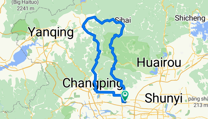
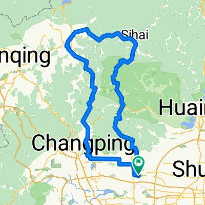
Yongning loop
A cycling route starting in Xiaotangshan, Beijing Municipality, China.
Overview
About this route
Loop past Lianhuashan through Yong Ning (which has a nice town center and market)
- -:--
- Duration
- 158.2 km
- Distance
- 1,961 m
- Ascent
- 1,964 m
- Descent
- ---
- Avg. speed
- 921 m
- Max. altitude
Continue with Bikemap
Use, edit, or download this cycling route
You would like to ride Yongning loop or customize it for your own trip? Here is what you can do with this Bikemap route:
Free features
- Save this route as favorite or in collections
- Copy & plan your own version of this route
- Split it into stages to create a multi-day tour
- Sync your route with Garmin or Wahoo
Premium features
Free trial for 3 days, or one-time payment. More about Bikemap Premium.
- Navigate this route on iOS & Android
- Export a GPX / KML file of this route
- Create your custom printout (try it for free)
- Download this route for offline navigation
Discover more Premium features.
Get Bikemap PremiumFrom our community
Other popular routes starting in Xiaotangshan
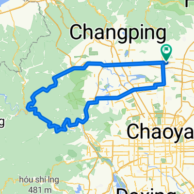
 big huairou loop
- Distance
- 161.7 km
- Ascent
- 2,407 m
- Descent
- 2,407 m
- Location
- Xiaotangshan, Beijing Municipality, China
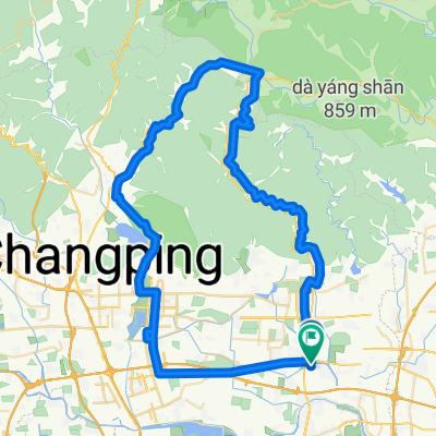
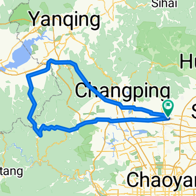 Pre-Ming Great Wall Loop
- Distance
- 155.9 km
- Ascent
- 1,549 m
- Descent
- 1,549 m
- Location
- Xiaotangshan, Beijing Municipality, China
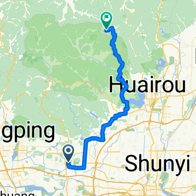 xizhazi
- Distance
- 54 km
- Ascent
- 891 m
- Descent
- 297 m
- Location
- Xiaotangshan, Beijing Municipality, China
 Yongning loop
- Distance
- 158.2 km
- Ascent
- 1,961 m
- Descent
- 1,964 m
- Location
- Xiaotangshan, Beijing Municipality, China
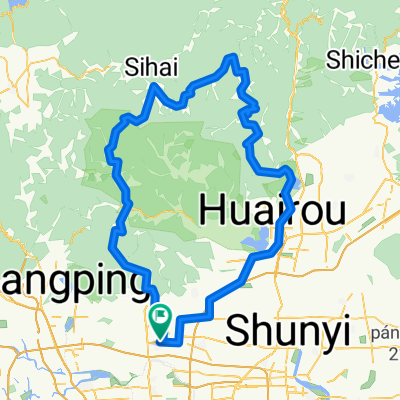
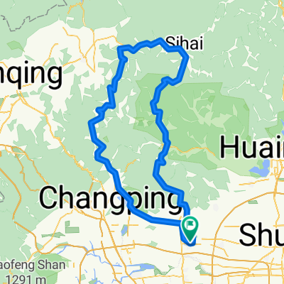 sihai loop
- Distance
- 145 km
- Ascent
- 2,300 m
- Descent
- 2,299 m
- Location
- Xiaotangshan, Beijing Municipality, China
 Yanchi loop
- Distance
- 144.6 km
- Ascent
- 541 m
- Descent
- 540 m
- Location
- Xiaotangshan, Beijing Municipality, China
 Yanchi loop (Copy)
- Distance
- 138.1 km
- Ascent
- 487 m
- Descent
- 485 m
- Location
- Xiaotangshan, Beijing Municipality, China
 Beijing Forest Pagoda
- Distance
- 78 km
- Ascent
- 954 m
- Descent
- 951 m
- Location
- Xiaotangshan, Beijing Municipality, China
Open it in the app