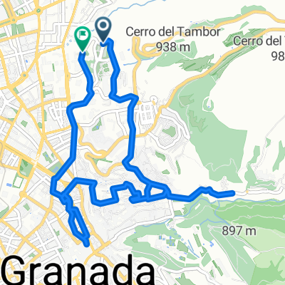
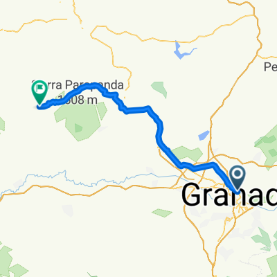
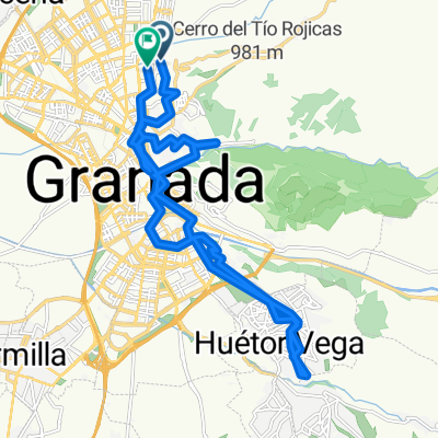
Granada Aguas Blancas Punto geodésico Pinos Granada
A cycling route starting in Granada, Andalusia, Spain.
Overview
About this route
Granada Aguas Blancas Geodetic Point Pinos Granada
- -:--
- Duration
- 32.8 km
- Distance
- 677 m
- Ascent
- 675 m
- Descent
- ---
- Avg. speed
- 1,329 m
- Max. altitude
Route quality
Waytypes & surfaces along the route
Waytypes
Road
11.8 km
(36 %)
Track
8.2 km
(25 %)
Surfaces
Paved
15.4 km
(47 %)
Unpaved
1 km
(3 %)
Asphalt
14.1 km
(43 %)
Concrete
1 km
(3 %)
Continue with Bikemap
Use, edit, or download this cycling route
You would like to ride Granada Aguas Blancas Punto geodésico Pinos Granada or customize it for your own trip? Here is what you can do with this Bikemap route:
Free features
- Save this route as favorite or in collections
- Copy & plan your own version of this route
- Sync your route with Garmin or Wahoo
Premium features
Free trial for 3 days, or one-time payment. More about Bikemap Premium.
- Navigate this route on iOS & Android
- Export a GPX / KML file of this route
- Create your custom printout (try it for free)
- Download this route for offline navigation
Discover more Premium features.
Get Bikemap PremiumFrom our community
Other popular routes starting in Granada
- Calle Joaquina Eguaras, Granada a Calle Gobernador Pedro Temboury, Granada
- Distance
- 19.3 km
- Ascent
- 117 m
- Descent
- 117 m
- Location
- Granada, Andalusia, Spain
- Granada - Barcelona - por los montes
- Distance
- 1,260.2 km
- Ascent
- 4,578 m
- Descent
- 5,247 m
- Location
- Granada, Andalusia, Spain
- Subida al Dornajo y vuelta por la Ctra. del Hotel del Duque
- Distance
- 52.8 km
- Ascent
- 1,130 m
- Descent
- 1,125 m
- Location
- Granada, Andalusia, Spain
- Puente verde-Cenes-Pinos Genil-Pantano de Canales
- Distance
- 23.9 km
- Ascent
- 311 m
- Descent
- 310 m
- Location
- Granada, Andalusia, Spain
- El Chorrillo
- Distance
- 63.9 km
- Ascent
- 1,039 m
- Descent
- 1,036 m
- Location
- Granada, Andalusia, Spain
- Ruta Turuta - Horacio Claudio Houseman Morlengo
- Distance
- 58.9 km
- Ascent
- ---
- Descent
- ---
- Location
- Granada, Andalusia, Spain
- Granada - Guejar Sierra
- Distance
- 17.9 km
- Ascent
- 534 m
- Descent
- 146 m
- Location
- Granada, Andalusia, Spain
- Vuelta al llano
- Distance
- 7.7 km
- Ascent
- 190 m
- Descent
- 188 m
- Location
- Granada, Andalusia, Spain
Open it in the app