

Cypress Bowl - Kill ATG!
A cycling route starting in West Vancouver, British Columbia, Canada.
Overview
About this route
scray test :)
800+m climb in about 16 km. Ride from the exit off Upper Levels highway up to the ski lifts on Cypress Mountain (home to the 2010 Winter Olympic Freestyle and Snowboarding events). Good training ride favored by Canadian Triathletes who have to ride the Ironman in Penticton each summer.
- -:--
- Duration
- 15.4 km
- Distance
- 790 m
- Ascent
- 48 m
- Descent
- ---
- Avg. speed
- ---
- Max. altitude

Route quality
Waytypes & surfaces along the route
Waytypes
Road
15.4 km
(100 %)
Surfaces
Paved
9.3 km
(61 %)
Asphalt
9.3 km
(61 %)
Undefined
6 km
(39 %)
Continue with Bikemap
Use, edit, or download this cycling route
You would like to ride Cypress Bowl - Kill ATG! or customize it for your own trip? Here is what you can do with this Bikemap route:
Free features
- Save this route as favorite or in collections
- Copy & plan your own version of this route
- Sync your route with Garmin or Wahoo
Premium features
Free trial for 3 days, or one-time payment. More about Bikemap Premium.
- Navigate this route on iOS & Android
- Export a GPX / KML file of this route
- Create your custom printout (try it for free)
- Download this route for offline navigation
Discover more Premium features.
Get Bikemap PremiumFrom our community
Other popular routes starting in West Vancouver
 Seven Bridges
- Distance
- 78.8 km
- Ascent
- 589 m
- Descent
- 589 m
- Location
- West Vancouver, British Columbia, Canada
 metro loop first via burnaby mountain
- Distance
- 90.7 km
- Ascent
- 1,205 m
- Descent
- 1,214 m
- Location
- West Vancouver, British Columbia, Canada
 Cypress
- Distance
- 15.7 km
- Ascent
- 744 m
- Descent
- 19 m
- Location
- West Vancouver, British Columbia, Canada
 Cypress Climb
- Distance
- 14 km
- Ascent
- 888 m
- Descent
- 105 m
- Location
- West Vancouver, British Columbia, Canada
 Cypress Mountain
- Distance
- 15.2 km
- Ascent
- 823 m
- Descent
- 64 m
- Location
- West Vancouver, British Columbia, Canada
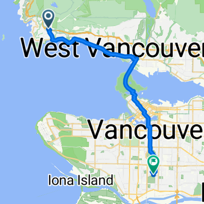 4749 Rutland Rd, West Vancouver to 100 W 49th Ave, Vancouver
- Distance
- 24.5 km
- Ascent
- 268 m
- Descent
- 343 m
- Location
- West Vancouver, British Columbia, Canada
 Slow ride in
- Distance
- 17 km
- Ascent
- 0 m
- Descent
- 13 m
- Location
- West Vancouver, British Columbia, Canada
 Dam Bur Van
- Distance
- 125.1 km
- Ascent
- 1,780 m
- Descent
- 1,782 m
- Location
- West Vancouver, British Columbia, Canada
Open it in the app