
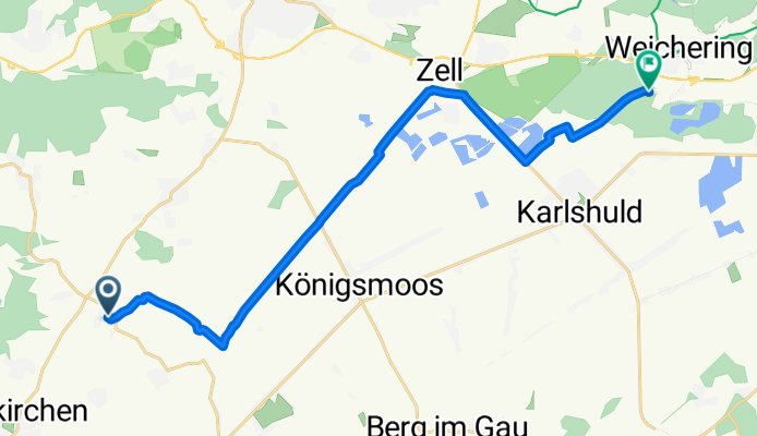
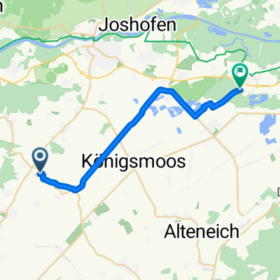
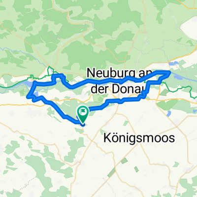
Kirchstraße 5, Ehekirchen nach Kochheimer Straße 42, Weichering
A cycling route starting in Rohrenfels, Bavaria, Germany.
Overview
About this route
- 1 h 10 min
- Duration
- 18.5 km
- Distance
- 168 m
- Ascent
- 171 m
- Descent
- 16 km/h
- Avg. speed
- ---
- Max. altitude

Route quality
Waytypes & surfaces along the route
Waytypes
Quiet road
6.4 km
(35 %)
Path
5 km
(27 %)
Surfaces
Paved
15.1 km
(82 %)
Unpaved
0.5 km
(3 %)
Asphalt
11.7 km
(63 %)
Paved (undefined)
3.4 km
(18 %)
Continue with Bikemap
Use, edit, or download this cycling route
You would like to ride Kirchstraße 5, Ehekirchen nach Kochheimer Straße 42, Weichering or customize it for your own trip? Here is what you can do with this Bikemap route:
Free features
- Save this route as favorite or in collections
- Copy & plan your own version of this route
- Sync your route with Garmin or Wahoo
Premium features
Free trial for 3 days, or one-time payment. More about Bikemap Premium.
- Navigate this route on iOS & Android
- Export a GPX / KML file of this route
- Create your custom printout (try it for free)
- Download this route for offline navigation
Discover more Premium features.
Get Bikemap PremiumFrom our community
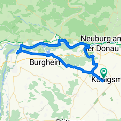
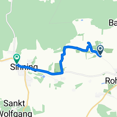
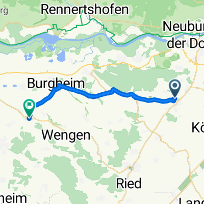
Other popular routes starting in Rohrenfels
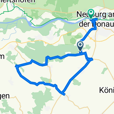
 St 2050, Oberhausen nach Dorfstraße, Neuburg an der Donau
- Distance
- 12.9 km
- Ascent
- 48 m
- Descent
- 85 m
- Location
- Rohrenfels, Bavaria, Germany
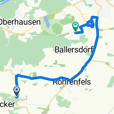
 Kirchstraße 2, Ehekirchen nach Kirchstraße 2, Ehekirchen
- Distance
- 28.5 km
- Ascent
- 224 m
- Descent
- 220 m
- Location
- Rohrenfels, Bavaria, Germany
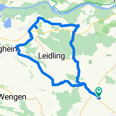
 Sportverein 1
- Distance
- 31.1 km
- Ascent
- 290 m
- Descent
- 306 m
- Location
- Rohrenfels, Bavaria, Germany
 Kirchstraße 5, Ehekirchen nach Kochheimer Straße, Weichering
- Distance
- 18.2 km
- Ascent
- 12 m
- Descent
- 30 m
- Location
- Rohrenfels, Bavaria, Germany
 Radltour PGR 2011
- Distance
- 56 km
- Ascent
- 167 m
- Descent
- 166 m
- Location
- Rohrenfels, Bavaria, Germany
 Route nach Im Oberdorf 16, Oberhausen
- Distance
- 4.5 km
- Ascent
- 75 m
- Descent
- 45 m
- Location
- Rohrenfels, Bavaria, Germany
 Am Berg 15, Rohrenfels nach Fischbauerngasse 16, Rain
- Distance
- 15.2 km
- Ascent
- 164 m
- Descent
- 166 m
- Location
- Rohrenfels, Bavaria, Germany
 Tour de sun MJ
- Distance
- 56.9 km
- Ascent
- 103 m
- Descent
- 105 m
- Location
- Rohrenfels, Bavaria, Germany
Open it in the app