

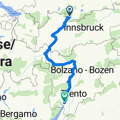
Von Grainau zur Osterfelder Bergstation
A cycling route starting in Grainau, Bavaria, Germany.
Overview
About this route
Man radelt bequem dem Radweg von Grainau über Hammersbach zur Alpspitzbahn Talstation. Von dort auf guter aber teils steiler Forststrasse in Richtung Hausberg, biegt aber auf höchster Stelle in Richtung Kreuzeck ab, bis man zur Hochalm kommt. Weiter gehts durch herrliches alpines Gelände hoch zur Osterfelder Bergstation auf 2030m Höhe!!
- -:--
- Duration
- 19.5 km
- Distance
- 1,405 m
- Ascent
- 123 m
- Descent
- ---
- Avg. speed
- ---
- Max. altitude

Continue with Bikemap
Use, edit, or download this cycling route
You would like to ride Von Grainau zur Osterfelder Bergstation or customize it for your own trip? Here is what you can do with this Bikemap route:
Free features
- Save this route as favorite or in collections
- Copy & plan your own version of this route
- Sync your route with Garmin or Wahoo
Premium features
Free trial for 3 days, or one-time payment. More about Bikemap Premium.
- Navigate this route on iOS & Android
- Export a GPX / KML file of this route
- Create your custom printout (try it for free)
- Download this route for offline navigation
Discover more Premium features.
Get Bikemap PremiumFrom our community
Other popular routes starting in Grainau
 Grainau - Planseerunde
- Distance
- 50.5 km
- Ascent
- 378 m
- Descent
- 380 m
- Location
- Grainau, Bavaria, Germany
 RSCH Alpencross 2014
- Distance
- 372.6 km
- Ascent
- 4,987 m
- Descent
- 5,656 m
- Location
- Grainau, Bavaria, Germany
 Seeweg 3, Grainau nach Eibseestraße, Grainau
- Distance
- 8.2 km
- Ascent
- 392 m
- Descent
- 384 m
- Location
- Grainau, Bavaria, Germany
 Zur Eningalm
- Distance
- 20.3 km
- Ascent
- 955 m
- Descent
- 141 m
- Location
- Grainau, Bavaria, Germany
 Um den Daniel
- Distance
- 58 km
- Ascent
- 603 m
- Descent
- 603 m
- Location
- Grainau, Bavaria, Germany
 G Route 8 Eibsee Runde
- Distance
- 7 km
- Ascent
- 177 m
- Descent
- 178 m
- Location
- Grainau, Bavaria, Germany
 2008-07-06 Plansee
- Distance
- 40.6 km
- Ascent
- 426 m
- Descent
- 426 m
- Location
- Grainau, Bavaria, Germany
 Transalp Garmisch - Riva
- Distance
- 365 km
- Ascent
- 4,752 m
- Descent
- 5,444 m
- Location
- Grainau, Bavaria, Germany
Open it in the app