

STKP 18: Tumova koča na Slavniku – Planinski dom na Sviščakih
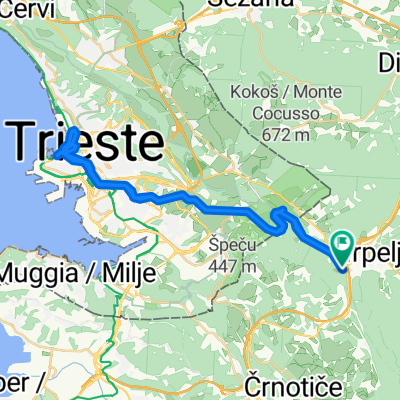
A cycling route starting in Kozina, Hrpelje-Kozina, Slovenia.
Overview
About this route
Duration: 5h
Physical difficulty:
Technical difficulty: Less demanding. The downhill section from Slavnik to Skadanščina is moderately challenging.
Rideability: The route is rideable in the dry part of the year. In wet and dry weather.
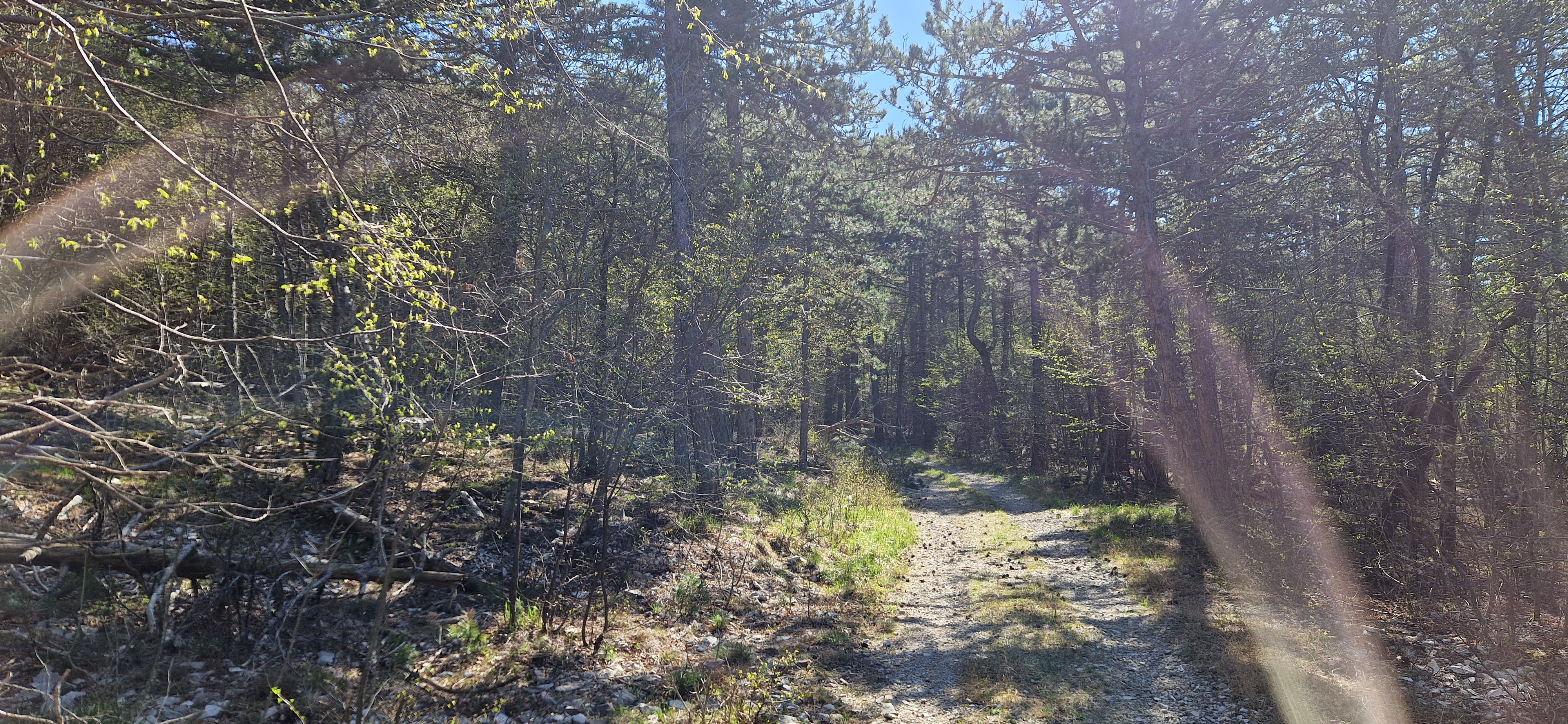
Surface: Gravel, asphalt, dirt road, railway.
Trail marking:
- -:--
- Duration
- 61.1 km
- Distance
- 1,323 m
- Ascent
- 1,082 m
- Descent
- ---
- Avg. speed
- 1,254 m
- Max. altitude

Route quality
Waytypes & surfaces along the route
Waytypes
Track
26.3 km
(43 %)
Quiet road
23.2 km
(38 %)
Surfaces
Paved
8.6 km
(14 %)
Unpaved
28.7 km
(47 %)
Gravel
27.5 km
(45 %)
Asphalt
4.9 km
(8 %)
Route highlights
Points of interest along the route
Point of interest after 0 km
Kontrolna točka #49 (V skrinjici pod teraso Tumove koče)
Point of interest after 21.6 km
Kontrolna točka #50 (V skrinjici na zidu pred objektom Pregarje 90)
Point of interest after 46.4 km
Kontrolna točka #51 (V skrinjici, pritrjeni v tla ob stebru na vrhu Velike Milanje)
Point of interest after 61.1 km
Kontrolna točka #52 (V planinskem domu na Sviščakih)
Continue with Bikemap
Use, edit, or download this cycling route
You would like to ride STKP 18: Tumova koča na Slavniku – Planinski dom na Sviščakih or customize it for your own trip? Here is what you can do with this Bikemap route:
Free features
- Save this route as favorite or in collections
- Copy & plan your own version of this route
- Sync your route with Garmin or Wahoo
Premium features
Free trial for 3 days, or one-time payment. More about Bikemap Premium.
- Navigate this route on iOS & Android
- Export a GPX / KML file of this route
- Create your custom printout (try it for free)
- Download this route for offline navigation
Discover more Premium features.
Get Bikemap PremiumFrom our community
Other popular routes starting in Kozina
 Hrpelje-Fiume giorno 2
- Distance
- 80.7 km
- Ascent
- 1,526 m
- Descent
- 1,526 m
- Location
- Kozina, Hrpelje-Kozina, Slovenia
 slavnik
- Distance
- 27.2 km
- Ascent
- 661 m
- Descent
- 677 m
- Location
- Kozina, Hrpelje-Kozina, Slovenia
 Vrbin
Vrbin- Distance
- 36 km
- Ascent
- 371 m
- Descent
- 371 m
- Location
- Kozina, Hrpelje-Kozina, Slovenia
 Kozina - Dolina Glinščice -Trst - Kozina
- Distance
- 41 km
- Ascent
- 878 m
- Descent
- 880 m
- Location
- Kozina, Hrpelje-Kozina, Slovenia
 Dolenjske Toplice - Ogulin
- Distance
- 59.7 km
- Ascent
- 1,289 m
- Descent
- 1,487 m
- Location
- Kozina, Hrpelje-Kozina, Slovenia
 STKP 18: Tumova koča na Slavniku – Planinski dom na Sviščakih
- Distance
- 61.1 km
- Ascent
- 1,323 m
- Descent
- 1,082 m
- Location
- Kozina, Hrpelje-Kozina, Slovenia
 Kozina-Socerb-Glinscica
- Distance
- 31.5 km
- Ascent
- 512 m
- Descent
- 512 m
- Location
- Kozina, Hrpelje-Kozina, Slovenia
Open it in the app