
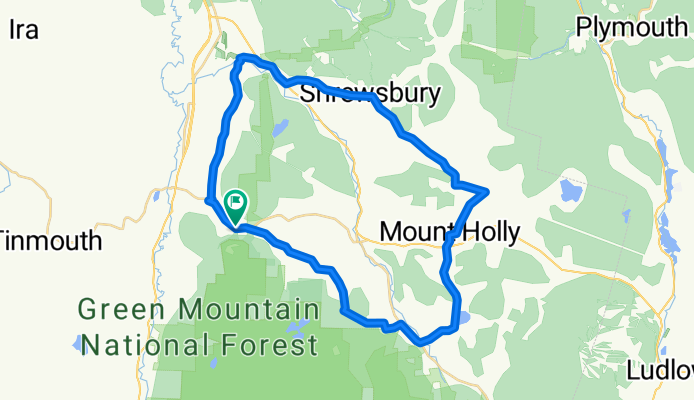
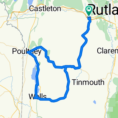
Wallingford w/ Tommy
A cycling route starting in West Rutland, Vermont, United States of America.
Overview
About this route
A lil loop exploring the Wallingford area! Hoping for some iconic Vermont riding
- -:--
- Duration
- 42.9 km
- Distance
- 753 m
- Ascent
- 767 m
- Descent
- ---
- Avg. speed
- 620 m
- Max. altitude
Continue with Bikemap
Use, edit, or download this cycling route
You would like to ride Wallingford w/ Tommy or customize it for your own trip? Here is what you can do with this Bikemap route:
Free features
- Save this route as favorite or in collections
- Copy & plan your own version of this route
- Sync your route with Garmin or Wahoo
Premium features
Free trial for 3 days, or one-time payment. More about Bikemap Premium.
- Navigate this route on iOS & Android
- Export a GPX / KML file of this route
- Create your custom printout (try it for free)
- Download this route for offline navigation
Discover more Premium features.
Get Bikemap PremiumFrom our community
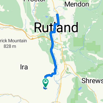
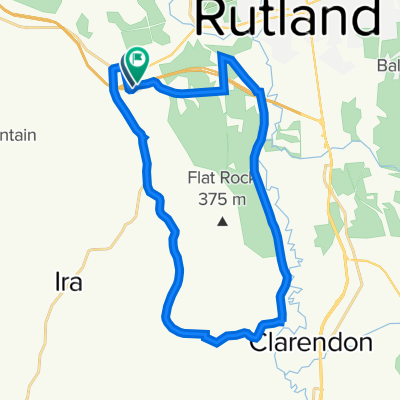
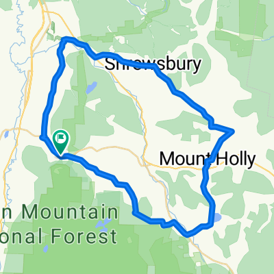
Other popular routes starting in West Rutland
 368 E Tinmouth Rd, West Rutland to 368 E Tinmouth Rd, West Rutland
- Distance
- 85.4 km
- Ascent
- 1,032 m
- Descent
- 1,026 m
- Location
- West Rutland, Vermont, United States of America
 Sissy's ride
- Distance
- 76.6 km
- Ascent
- 687 m
- Descent
- 686 m
- Location
- West Rutland, Vermont, United States of America
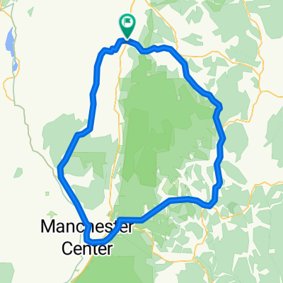
 Walker Mtn
- Distance
- 27 km
- Ascent
- 377 m
- Descent
- 363 m
- Location
- West Rutland, Vermont, United States of America
 Wallingford w/ Tommy
- Distance
- 42.9 km
- Ascent
- 753 m
- Descent
- 767 m
- Location
- West Rutland, Vermont, United States of America
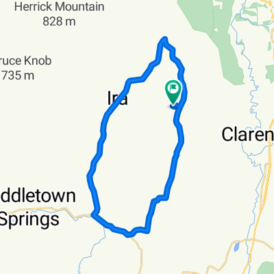 Ira/Tinmouth
- Distance
- 25.5 km
- Ascent
- 394 m
- Descent
- 396 m
- Location
- West Rutland, Vermont, United States of America
 Green Mountains Walllingford
- Distance
- 104.8 km
- Ascent
- 1,281 m
- Descent
- 1,271 m
- Location
- West Rutland, Vermont, United States of America
 35 Marble St, West Rutland to 35 Marble St, West Rutland
- Distance
- 79.9 km
- Ascent
- 1,234 m
- Descent
- 1,232 m
- Location
- West Rutland, Vermont, United States of America
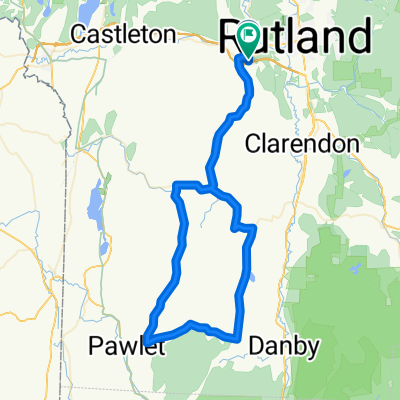 W.Rutland-Tinmouth-Danby4Corners-Middletown Springs
- Distance
- 78.3 km
- Ascent
- 675 m
- Descent
- 663 m
- Location
- West Rutland, Vermont, United States of America
Open it in the app