LV0B prologue from Langogne.kml - LV0B prologue from Langogne.kml_LV0B prologue from Langogne
- 50.5 km
- 1,847 m
- 1,375 m
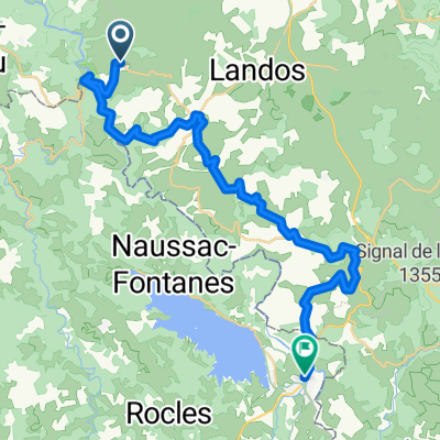
- Langogne, Occitanie, France
A cycling route starting in Langogne, Occitanie, France.
Overview
This is the second of 22 planned cycling routes departing from Les Terrasses du Lac (hotel, bungalows and campsite). Come ride between the lake and the mid-mountains in Lozère, in a beautiful wild natural area at 1000m altitude. With deserted roads in perfect condition, very pure air, very peaceful tranquility: welcome to the cycling paradise. We welcome you at Les Terrasses du Lac in a family and friendly atmosphere by the lake. Hotel, chalets, restaurant, bike storage, gym, and a rich gourmet cuisine adapted to flexible hours. Welcoming athletes is our specialty. You will feel at home with us. More info at www.naussac.com
created this 4 years ago
Route quality
Road
42.9 km
(37 %)
Quiet road
3.5 km
(3 %)
Undefined
69.6 km
(60 %)
Paved
38.3 km
(33 %)
Asphalt
27.8 km
(24 %)
Paved (undefined)
10.4 km
(9 %)
Undefined
77.7 km
(67 %)
Continue with Bikemap
You would like to ride 02ColduChevalMort or customize it for your own trip? Here is what you can do with this Bikemap route:
Free trial for 3 days, or one-time payment. More about Bikemap Premium.
Discover more Premium features.
Get Bikemap PremiumFrom our community
Open it in the app