


Bayerntour Tag 1
- 63 km
- 529 m
- 568 m
- Unterdießen, Bavaria, Germany
A cycling route starting in Unterdießen, Bavaria, Germany.
Overview
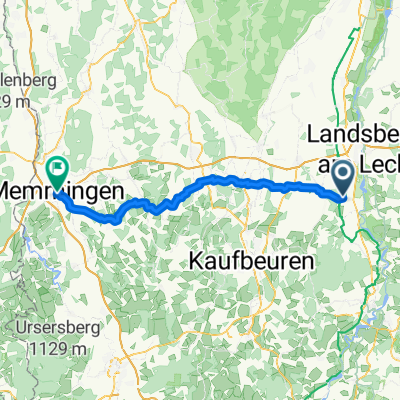
The route leads from Unterdießen north and northwest into the Stauden, makes a turnaround west at Gessertshausen and returns back.
created this 14 years ago
Route quality
Road
35.2 km
(32 %)
Track
24.2 km
(22 %)
Paved
94.7 km
(86 %)
Unpaved
9.9 km
(9 %)
Asphalt
94.7 km
(86 %)
Gravel
4.4 km
(4 %)
Continue with Bikemap
You would like to ride Unterdießen - Stauden - Unterdießen or customize it for your own trip? Here is what you can do with this Bikemap route:
Free trial for 3 days, or one-time payment. More about Bikemap Premium.
Discover more Premium features.
Get Bikemap PremiumFrom our community
Open it in the app


