9. Poli maraton (mini)
- 30.3 km
- 121 m
- 118 m
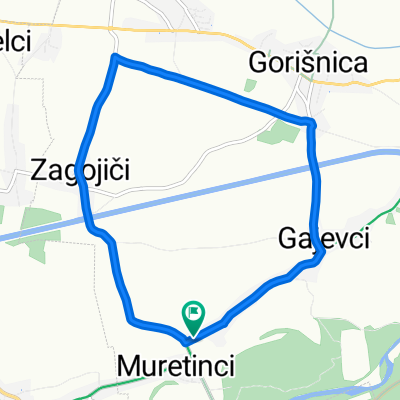
- Gorišnica, Občina Gorišnica, Slovenia
A cycling route starting in Gorišnica, Občina Gorišnica, Slovenia.
Overview
created this 4 years ago
Route quality
Quiet road
54.2 km
(77 %)
Road
3.5 km
(5 %)
Paved
35.2 km
(50 %)
Unpaved
4.2 km
(6 %)
Asphalt
34.5 km
(49 %)
Gravel
3.5 km
(5 %)
Route highlights
Kontrolna točka #77 (Gorišnica, Dominkova domačija)
Kontrolna točka #78 (Polenšak, gostilna Šegula)
Kontrolna točka #79 (Sakušak, Puhov muzej)
Kontrolna točka #80 (Sv. Trojica)
Kontrolna točka #81 (Zavrh, Maistrov stolp)
Kontrolna točka #82 (Hiša stare trte v Mariboru)
Continue with Bikemap
You would like to ride STKP 28: Gorišnica – Maribor or customize it for your own trip? Here is what you can do with this Bikemap route:
Free trial for 3 days, or one-time payment. More about Bikemap Premium.
Discover more Premium features.
Get Bikemap PremiumFrom our community
Open it in the app