

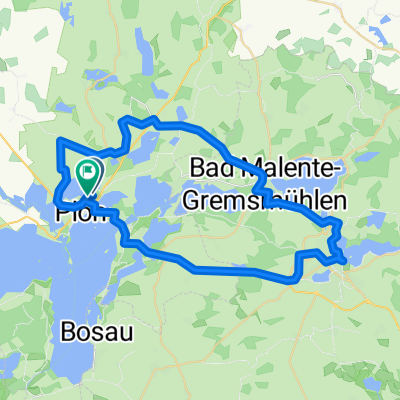
SH4: Städtchen Tour / Holsteinische Schweiz
A cycling route starting in Plön, Schleswig-Holstein, Germany.
Overview
About this route
According to the documents provided by the tourist offices in the Eutin area.
- -:--
- Duration
- 51.6 km
- Distance
- 448 m
- Ascent
- 447 m
- Descent
- ---
- Avg. speed
- 85 m
- Max. altitude

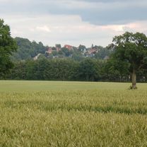
Route photos


Route quality
Waytypes & surfaces along the route
Waytypes
Quiet road
17.5 km
(34 %)
Path
14.4 km
(28 %)
Surfaces
Paved
21.7 km
(42 %)
Unpaved
17 km
(33 %)
Asphalt
20.6 km
(40 %)
Gravel
7.7 km
(15 %)
Continue with Bikemap
Use, edit, or download this cycling route
You would like to ride SH4: Städtchen Tour / Holsteinische Schweiz or customize it for your own trip? Here is what you can do with this Bikemap route:
Free features
- Save this route as favorite or in collections
- Copy & plan your own version of this route
- Sync your route with Garmin or Wahoo
Premium features
Free trial for 3 days, or one-time payment. More about Bikemap Premium.
- Navigate this route on iOS & Android
- Export a GPX / KML file of this route
- Create your custom printout (try it for free)
- Download this route for offline navigation
Discover more Premium features.
Get Bikemap PremiumFrom our community
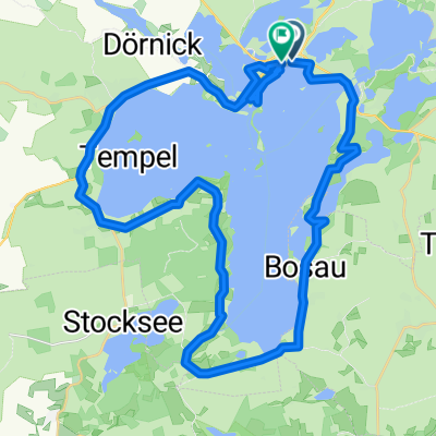
Other popular routes starting in Plön
 Ascheberger Straße 1a, Plön nach Ascheberger Straße 1a, Plön
- Distance
- 25 km
- Ascent
- 57 m
- Descent
- 103 m
- Location
- Plön, Schleswig-Holstein, Germany
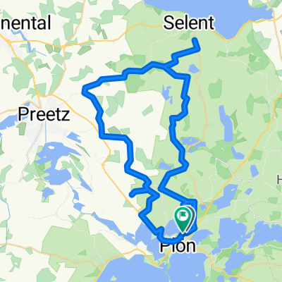
 Vogelberg - Eutin & zurück
- Distance
- 47.2 km
- Ascent
- 436 m
- Descent
- 438 m
- Location
- Plön, Schleswig-Holstein, Germany
 Plön, Kleine Mühlentour
- Distance
- 26.1 km
- Ascent
- 177 m
- Descent
- 182 m
- Location
- Plön, Schleswig-Holstein, Germany
 Plöner-See-Tour
- Distance
- 41.1 km
- Ascent
- 325 m
- Descent
- 325 m
- Location
- Plön, Schleswig-Holstein, Germany
 Nördlich von Plön
- Distance
- 50.5 km
- Ascent
- 257 m
- Descent
- 261 m
- Location
- Plön, Schleswig-Holstein, Germany
 SH4: Städtchen Tour / Holsteinische Schweiz
- Distance
- 51.6 km
- Ascent
- 448 m
- Descent
- 447 m
- Location
- Plön, Schleswig-Holstein, Germany
 Plöner Seen Tour 70km
- Distance
- 69.1 km
- Ascent
- 464 m
- Descent
- 456 m
- Location
- Plön, Schleswig-Holstein, Germany
 Route in Plön
- Distance
- 95.4 km
- Ascent
- 602 m
- Descent
- 603 m
- Location
- Plön, Schleswig-Holstein, Germany
Open it in the app