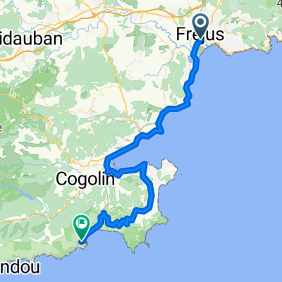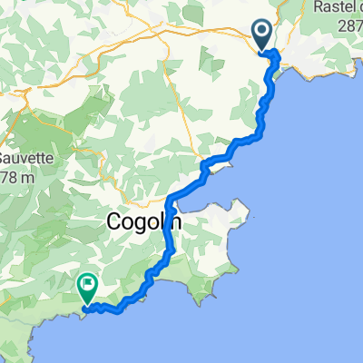
D N7, Fréjus à Chemin de la Faveirolle, Le Lavandou
- 59.2 km
- 658 m
- 644 m
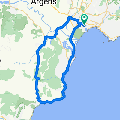
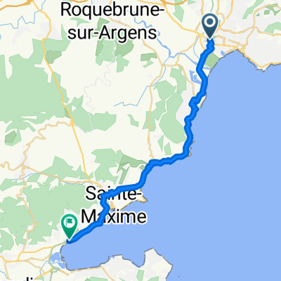
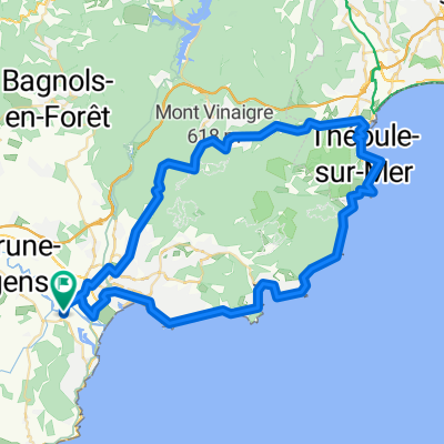
- Fréjus, Provence-Alpes-Côte d'Azur Region, France
A cycling route starting in Fréjus, Provence-Alpes-Côte d'Azur Region, France.
Overview
rterte
created this 14 years ago
Route quality
Quiet road
21.5 km
(37 %)
Access road
1.7 km
(3 %)
Paved
43.6 km
(75 %)
Asphalt
43.6 km
(75 %)
Undefined
14.5 km
(25 %)
Continue with Bikemap
You would like to ride S Frankreich 1. Tag or customize it for your own trip? Here is what you can do with this Bikemap route:
Free trial for 3 days, or one-time payment. More about Bikemap Premium.
Discover more Premium features.
Get Bikemap PremiumFrom our community
Open it in the app