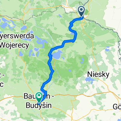
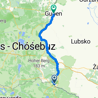
Am Rande des Muskauer Parks
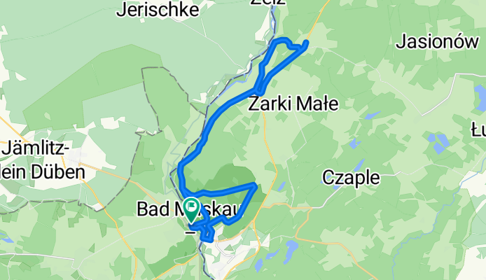
A cycling route starting in Łęknica, Lubusz Voivodship, Poland.
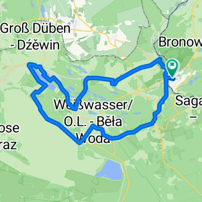
Overview
About this route
Im Muskauer Park sind Wege meist gut befahrbar, Ausnahme vom Vorwerk bis zum Kernbereich des Parks. Außerhalb des Parks sind die als Radweg (Roter Strich) ausgewiesenen Wege z.T. schlechte Feldwege! Die Ausschilderung ist gut. Die Strecke ist für Tourenräder bedingt geeignet, für Rennräder ungeeignet.
- -:--
- Duration
- 25.1 km
- Distance
- 137 m
- Ascent
- 112 m
- Descent
- ---
- Avg. speed
- 138 m
- Avg. speed
Route quality
Waytypes & surfaces along the route
Waytypes
Track
15.9 km
(63 %)
Cycleway
3.9 km
(15 %)
Surfaces
Paved
5.7 km
(23 %)
Unpaved
16.1 km
(64 %)
Gravel
6.4 km
(25 %)
Ground
5.2 km
(21 %)
Route highlights
Points of interest along the route
Photo after 7.4 km
Barockkirche
Point of interest after 9.1 km
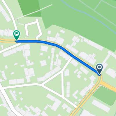
Waldweg - stark ausgefahren/ausgewaschen - teilweise Fahrrad schieben!
Continue with Bikemap
Use, edit, or download this cycling route
You would like to ride Am Rande des Muskauer Parks or customize it for your own trip? Here is what you can do with this Bikemap route:
Free features
- Save this route as favorite or in collections
- Copy & plan your own version of this route
- Sync your route with Garmin or Wahoo
Premium features
Free trial for 3 days, or one-time payment. More about Bikemap Premium.
- Navigate this route on iOS & Android
- Export a GPX / KML file of this route
- Create your custom printout (try it for free)
- Download this route for offline navigation
Discover more Premium features.
Get Bikemap PremiumFrom our community
Other popular routes starting in Łęknica
- Aussichtsreiche Radrunde im sorbischen Siedlungsgebiet
- Distance
- 20.1 km
- Ascent
- 176 m
- Descent
- 176 m
- Location
- Łęknica, Lubusz Voivodship, Poland
- 10.07.26 Sagar-Guben (13. Etappe)
- Distance
- 77.1 km
- Ascent
- 64 m
- Descent
- 138 m
- Location
- Łęknica, Lubusz Voivodship, Poland
- Am Rande des Muskauer Parks
- Distance
- 25.1 km
- Ascent
- 137 m
- Descent
- 112 m
- Location
- Łęknica, Lubusz Voivodship, Poland
- Pętla < Łęknica - Łęknica ( dzień 3 )
- Distance
- 69.3 km
- Ascent
- 138 m
- Descent
- 139 m
- Location
- Łęknica, Lubusz Voivodship, Poland
- Von der Neiße an die Spree
- Distance
- 59 km
- Ascent
- 201 m
- Descent
- 189 m
- Location
- Łęknica, Lubusz Voivodship, Poland
- 10.07.26-10.08.03"A nette Tour"
- Distance
- 566.8 km
- Ascent
- 212 m
- Descent
- 328 m
- Location
- Łęknica, Lubusz Voivodship, Poland
- Extensive Friday Track In Łęknica
- Distance
- 15.6 km
- Ascent
- 145 m
- Descent
- 125 m
- Location
- Łęknica, Lubusz Voivodship, Poland
- solo_2024_12_Bad Muskau -
- Distance
- 138.2 km
- Ascent
- 486 m
- Descent
- 553 m
- Location
- Łęknica, Lubusz Voivodship, Poland
Open it in the app