Von Roßwälden zur Teck
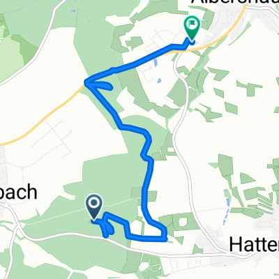
A cycling route starting in Schlierbach, Baden-Württemberg, Germany.
Overview
About this route
Schöne Bike Tour mit Einkehr auf der Burg Teck, Auffahrt zur Teck sehr steil.
- -:--
- Duration
- 19.2 km
- Distance
- 610 m
- Ascent
- 181 m
- Descent
- ---
- Avg. speed
- ---
- Avg. speed
Continue with Bikemap
Use, edit, or download this cycling route
You would like to ride Von Roßwälden zur Teck or customize it for your own trip? Here is what you can do with this Bikemap route:
Free features
- Save this route as favorite or in collections
- Copy & plan your own version of this route
- Sync your route with Garmin or Wahoo
Premium features
Free trial for 3 days, or one-time payment. More about Bikemap Premium.
- Navigate this route on iOS & Android
- Export a GPX / KML file of this route
- Create your custom printout (try it for free)
- Download this route for offline navigation
Discover more Premium features.
Get Bikemap PremiumFrom our community
Other popular routes starting in Schlierbach
- Von Roßwälden über die Alb
- Distance
- 57.8 km
- Ascent
- 809 m
- Descent
- 807 m
- Location
- Schlierbach, Baden-Württemberg, Germany
- 20170612_192327.gpx
- Distance
- 42 km
- Ascent
- 591 m
- Descent
- 661 m
- Location
- Schlierbach, Baden-Württemberg, Germany
- Roßwälden Filseck Boll Omden RW
- Distance
- 36.1 km
- Ascent
- 288 m
- Descent
- 288 m
- Location
- Schlierbach, Baden-Württemberg, Germany
- Familientour zum Weiler Schafhof
- Distance
- 19.8 km
- Ascent
- 219 m
- Descent
- 219 m
- Location
- Schlierbach, Baden-Württemberg, Germany
- Von Roßwälden zur Teck
- Distance
- 19.2 km
- Ascent
- 610 m
- Descent
- 181 m
- Location
- Schlierbach, Baden-Württemberg, Germany
- Seentour Kirchheim /Teck
- Distance
- 70.5 km
- Ascent
- 405 m
- Descent
- 397 m
- Location
- Schlierbach, Baden-Württemberg, Germany
- Rundtour am 31.7.2018
- Distance
- 23.1 km
- Ascent
- 183 m
- Descent
- 183 m
- Location
- Schlierbach, Baden-Württemberg, Germany
- Familientour zum Weiler Schafhof
- Distance
- 19.8 km
- Ascent
- 129 m
- Descent
- 112 m
- Location
- Schlierbach, Baden-Württemberg, Germany
Open it in the app