- 40.6 km
- 723 m
- 723 m
- Mauterndorf, Salzburg, Austria
Mauterndorf Cycling
A cycling route starting in Mauterndorf, Salzburg, Austria.
Overview
About this route
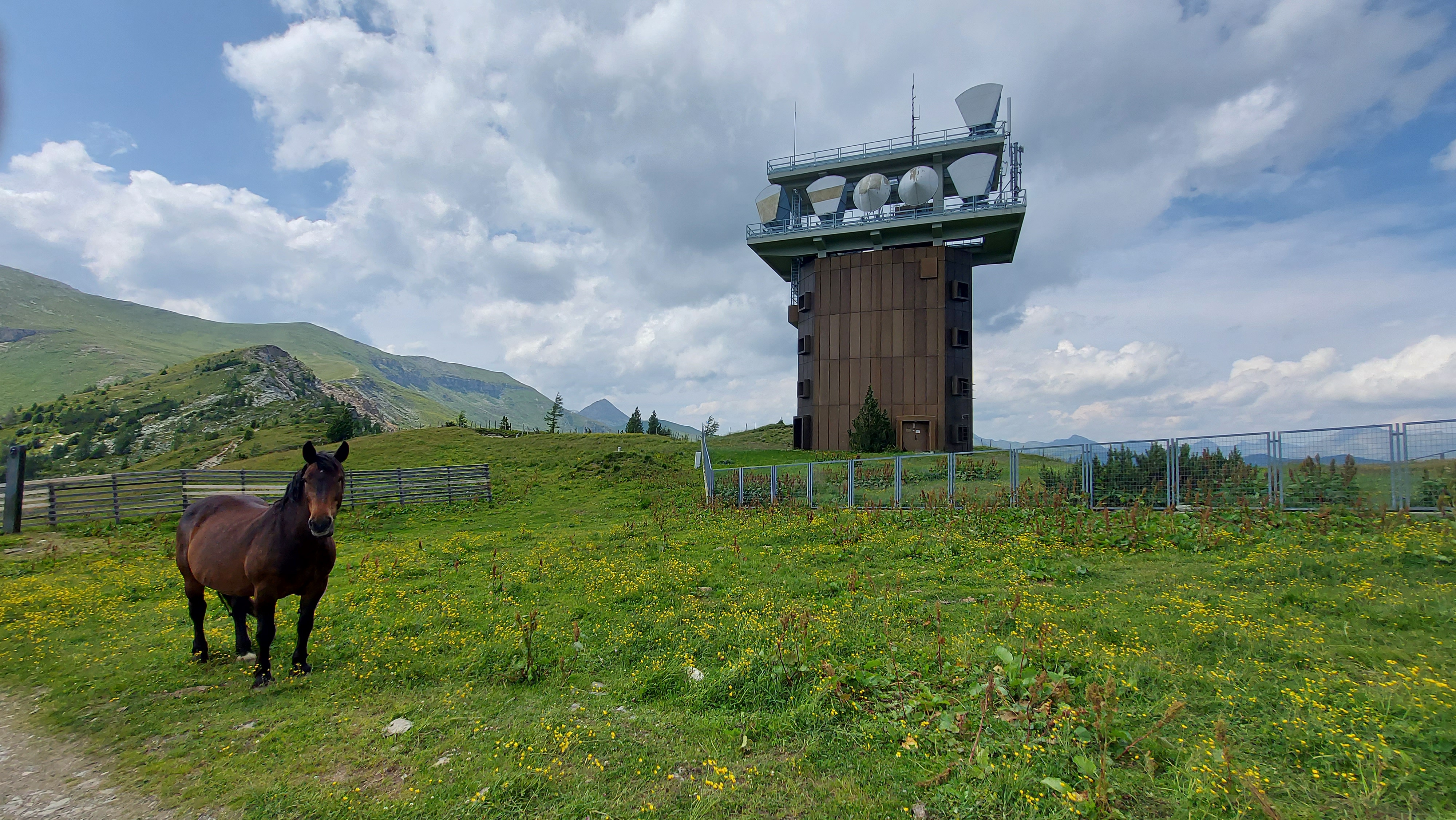
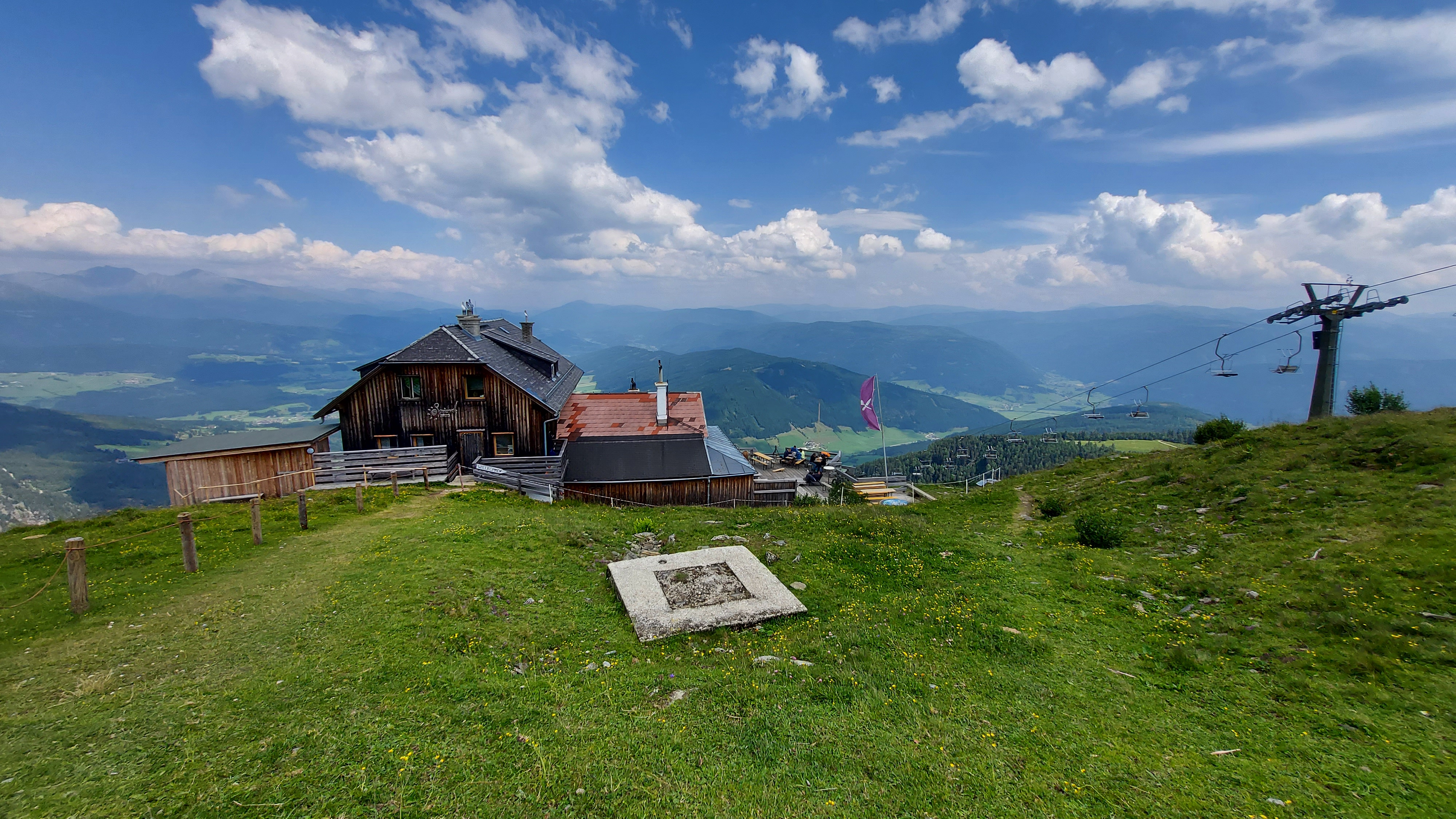
Trasa začíná u spodní stanice kabinkové lanovky a autokempu Mautendorf, který je umístěn nedaleko stejnojmenného městečka a hezkého hradu. Po cyklostezce se dostanete jak k hradu, tak i k horní stanici lanovky. Cyklostezka vede po šotolinovém povrchu, který je v místech většího stoupání pokryt i hrubší drtí. Vhodná jsou tedy MTB kola a také je dobré vědět, že na horní stanici lanovky může dost profukovat. Cyklostezek je zde celkem dost a jedna je vedena jako okružní.
- -:--
- Duration
- 34.2 km
- Distance
- 1,843 m
- Ascent
- 949 m
- Descent
- ---
- Avg. speed
- 2,064 m
- Max. altitude
created this 4 years ago
Route photos
Route quality
Waytypes & surfaces along the route
Waytypes
Track
29.7 km
(87 %)
Path
2.1 km
(6 %)
Surfaces
Paved
2.7 km
(8 %)
Unpaved
28.4 km
(83 %)
Gravel
28 km
(82 %)
Asphalt
2.7 km
(8 %)
Route highlights
Points of interest along the route

Photo after 1.7 km
Kabinková lanovka

Photo after 6.4 km

Photo after 8.4 km

Photo after 8.9 km
Horní stanice lanovky

Photo after 9.8 km

Photo after 11.5 km

Photo after 15.1 km

Photo after 16.7 km

Photo after 20.8 km
Autokemp Mauterndorf

Photo after 22.1 km
Hrad Mauterndorf

Photo after 33.8 km

Photo after 34.1 km

Photo after 34.2 km
Continue with Bikemap
Use, edit, or download this cycling route
You would like to ride Mauterndorf Cycling or customize it for your own trip? Here is what you can do with this Bikemap route:
Free features
- Save this route as favorite or in collections
- Copy & plan your own version of this route
- Sync your route with Garmin or Wahoo
Premium features
Free trial for 3 days, or one-time payment. More about Bikemap Premium.
- Navigate this route on iOS & Android
- Export a GPX / KML file of this route
- Create your custom printout (try it for free)
- Download this route for offline navigation
Discover more Premium features.
Get Bikemap PremiumFrom our community
Other popular routes starting in Mauterndorf
- Mauterndorf - Weißpriach - Granglerhütte und retour
- 20130603
- 108.4 km
- 411 m
- 411 m
- Mauterndorf, Salzburg, Austria
- Markt 2a, Mauterndorf nach Schernbergstraße 14, Radstadt
- 12,751.5 km
- 1,446 m
- 1,706 m
- Mauterndorf, Salzburg, Austria
- 20130601
- 37.2 km
- 249 m
- 241 m
- Mauterndorf, Salzburg, Austria
- Mauterndorf Mariapfarr Häuserl im Wald
- 18.7 km
- 423 m
- 431 m
- Mauterndorf, Salzburg, Austria
- Hannibal #2: Mauterndorf - Maria Alm
- 102.6 km
- 1,617 m
- 1,936 m
- Mauterndorf, Salzburg, Austria
- Markt nach Burgplatz
- 67.3 km
- 2,348 m
- 2,898 m
- Mauterndorf, Salzburg, Austria
- Trogalmrunde - Neuseß - Mariapfarr - Weißpriach
- 63.3 km
- 1,820 m
- 1,818 m
- Mauterndorf, Salzburg, Austria
Open it in the app


