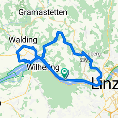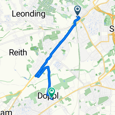
Arbeitsweg 1
- 18.1 km
- 244 m
- 183 m
- Leonding, Upper Austria, Austria
A cycling route starting in Leonding, Upper Austria, Austria.
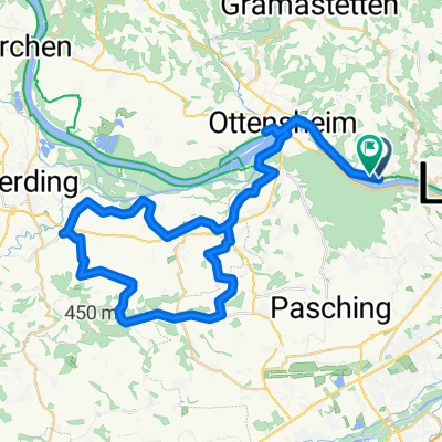
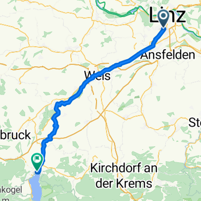
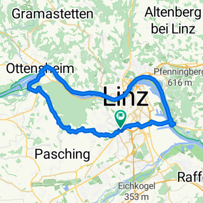
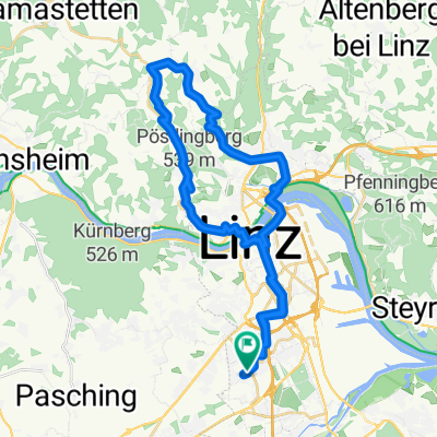
Overview
created this 17 years ago
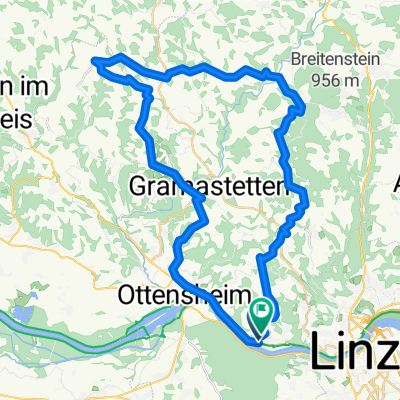
Route quality
Quiet road
27.6 km
(43 %)
Road
12.8 km
(20 %)
Paved
42.9 km
(67 %)
Unpaved
1.9 km
(3 %)
Asphalt
42.9 km
(67 %)
Ground
1.9 km
(3 %)
Undefined
19.2 km
(30 %)
Continue with Bikemap
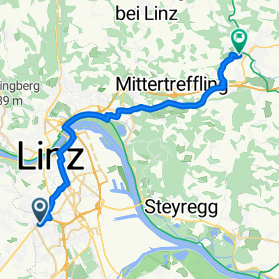
You would like to ride Linz-Alhaming-Pichling or customize it for your own trip? Here is what you can do with this Bikemap route:
Free trial for 3 days, or one-time payment. More about Bikemap Premium.
Discover more Premium features.
Get Bikemap PremiumFrom our community
Open it in the app