

July2021DualSportRide
A cycling route starting in Oakridge, Oregon, United States.
Overview
About this route
HWY 58 to Lolleta Lakes, Diamand Lake, Windigo Pass, Summit Lake, and back via 2117 and 5850
2117 has a washout that will be difficult for four wheeled vehicles.
- -:--
- Duration
- 348.9 km
- Distance
- 4,980 m
- Ascent
- 4,957 m
- Descent
- ---
- Avg. speed
- 1,807 m
- Max. altitude
Route quality
Waytypes & surfaces along the route
Waytypes
Quiet road
265.2 km
(76 %)
Track
41.9 km
(12 %)
Surfaces
Paved
48.8 km
(14 %)
Unpaved
282.6 km
(81 %)
Gravel
184.9 km
(53 %)
Unpaved (undefined)
83.7 km
(24 %)
Route highlights
Points of interest along the route
Point of interest after 306.6 km
There's a washout at approximately this point that will be difficult for 4-wheel vehicles to cross.
Continue with Bikemap
Use, edit, or download this cycling route
You would like to ride July2021DualSportRide or customize it for your own trip? Here is what you can do with this Bikemap route:
Free features
- Save this route as favorite or in collections
- Copy & plan your own version of this route
- Split it into stages to create a multi-day tour
- Sync your route with Garmin or Wahoo
Premium features
Free trial for 3 days, or one-time payment. More about Bikemap Premium.
- Navigate this route on iOS & Android
- Export a GPX / KML file of this route
- Create your custom printout (try it for free)
- Download this route for offline navigation
Discover more Premium features.
Get Bikemap PremiumFrom our community
Other popular routes starting in Oakridge
 Fish Hatchery Road to Green Lane
- Distance
- 86.5 km
- Ascent
- 456 m
- Descent
- 685 m
- Location
- Oakridge, Oregon, United States
 Rainbow Road 76332, Oakridge to Rainbow Road 76332, Oakridge
- Distance
- 8.3 km
- Ascent
- 6 m
- Descent
- 6 m
- Location
- Oakridge, Oregon, United States
 Day 4 (7/28): Packard Creek Campground - Indigo Springs Campground
- Distance
- 38 km
- Ascent
- 675 m
- Descent
- 329 m
- Location
- Oakridge, Oregon, United States
 Rainbow Road 76332, Oakridge to Rainbow Road 76332, Oakridge
- Distance
- 8.9 km
- Ascent
- 13 m
- Descent
- 13 m
- Location
- Oakridge, Oregon, United States
 Rainbow Road 76332, Oakridge to Rainbow Road 76332, Oakridge
- Distance
- 6.5 km
- Ascent
- 30 m
- Descent
- 13 m
- Location
- Oakridge, Oregon, United States
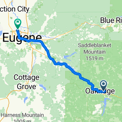
 Oakridge to Eugene
- Distance
- 72.6 km
- Ascent
- 311 m
- Descent
- 539 m
- Location
- Oakridge, Oregon, United States
 Rainbow Road 76332, Oakridge to Rainbow Road 76332, Oakridge
- Distance
- 9.1 km
- Ascent
- 26 m
- Descent
- 10 m
- Location
- Oakridge, Oregon, United States
 Rainbow Road 76332, Oakridge to Rainbow Road 76332, Oakridge
- Distance
- 9.1 km
- Ascent
- 13 m
- Descent
- 13 m
- Location
- Oakridge, Oregon, United States
Open it in the app