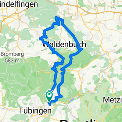
Tübingen nach Tübingen
- 37 km
- 469 m
- 485 m
- Kusterdingen, Baden-Wurttemberg, Germany
A cycling route starting in Kusterdingen, Baden-Wurttemberg, Germany.
Overview
Sunday ride with a culinary highlight
created this 14 years ago
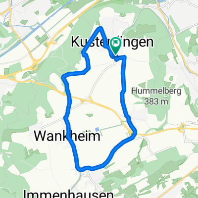
Route highlights
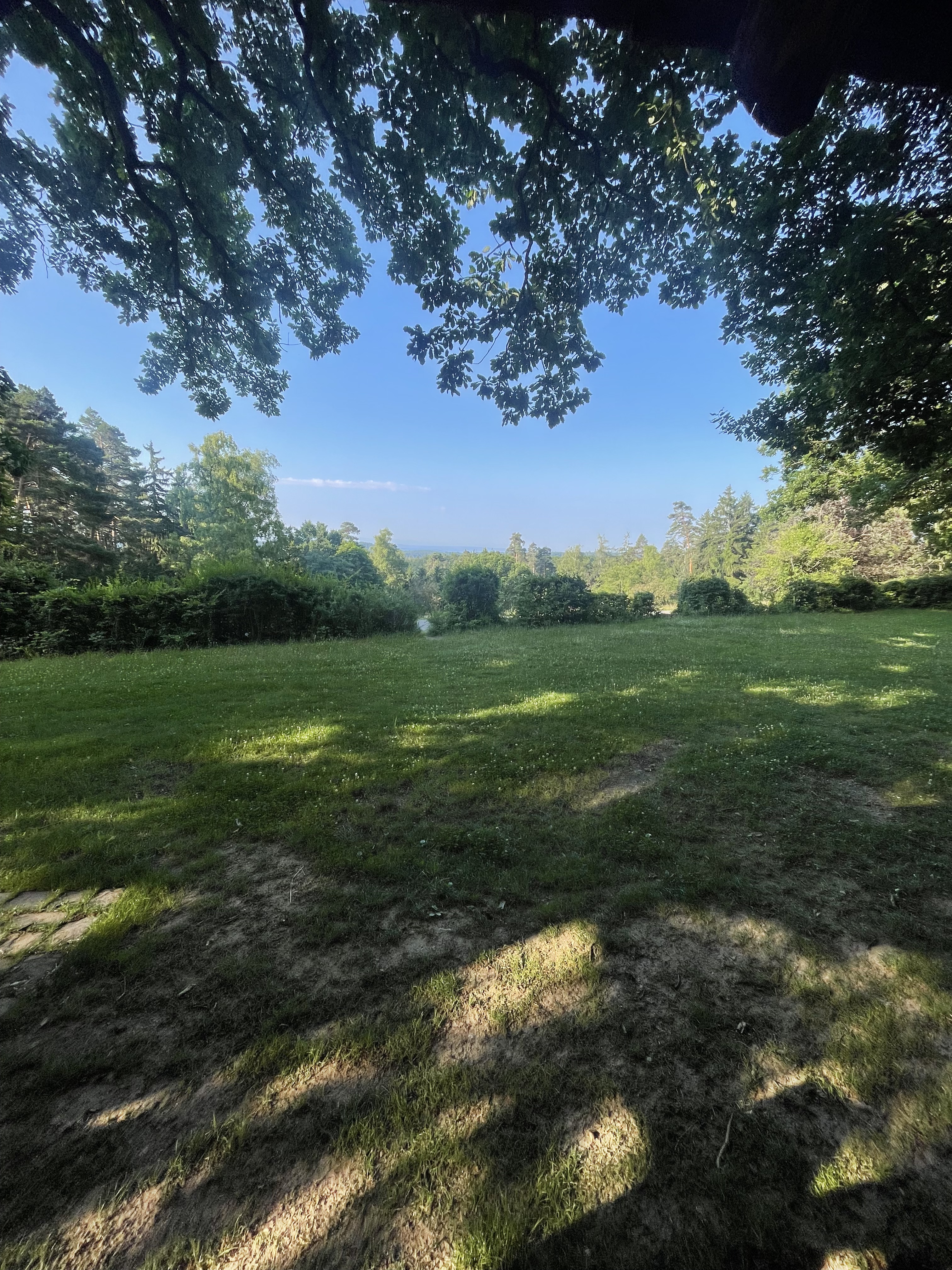
Pause 1: Aussicht vom Horn
Pause 1: Landgasthof Alte Burg
Continue with Bikemap
You would like to ride WöWa2 or customize it for your own trip? Here is what you can do with this Bikemap route:
Free trial for 3 days, or one-time payment. More about Bikemap Premium.
Discover more Premium features.
Get Bikemap PremiumFrom our community
Open it in the app