

Germering - Prittriching Lechaufwärts - Landsberg - Germering
A cycling route starting in Germering, Bavaria, Germany.
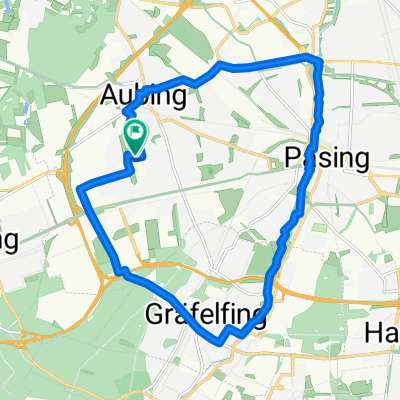
Overview
About this route
Landsberied, dann tlw. Radweg "Via Julia", Lechaufwärts tlw. Radweg "Romantische Straße", ab Landsberg überwiegend "Ammersee-Radweg"
- -:--
- Duration
- 111.2 km
- Distance
- 373 m
- Ascent
- 373 m
- Descent
- ---
- Avg. speed
- ---
- Max. altitude
Route quality
Waytypes & surfaces along the route
Waytypes
Quiet road
53.5 km
(48 %)
Track
18 km
(16 %)
Surfaces
Paved
87.4 km
(79 %)
Unpaved
13.3 km
(12 %)
Asphalt
86.4 km
(78 %)
Gravel
5.6 km
(5 %)
Route highlights
Points of interest along the route
Point of interest after 43.7 km
"La Terrazza": Steinofenpizza und legendärer Meeresfrüchtesalat - testen! -
Point of interest after 56.2 km
Burgruine Haltenberg
Point of interest after 66.7 km
Lechwehr mit vielen Cafés
Continue with Bikemap
Use, edit, or download this cycling route
You would like to ride Germering - Prittriching Lechaufwärts - Landsberg - Germering or customize it for your own trip? Here is what you can do with this Bikemap route:
Free features
- Save this route as favorite or in collections
- Copy & plan your own version of this route
- Split it into stages to create a multi-day tour
- Sync your route with Garmin or Wahoo
Premium features
Free trial for 3 days, or one-time payment. More about Bikemap Premium.
- Navigate this route on iOS & Android
- Export a GPX / KML file of this route
- Create your custom printout (try it for free)
- Download this route for offline navigation
Discover more Premium features.
Get Bikemap PremiumFrom our community
Other popular routes starting in Germering
 Germering - Eching - Keltengräber - Germering
- Distance
- 61.4 km
- Ascent
- 343 m
- Descent
- 341 m
- Location
- Germering, Bavaria, Germany
 Pasinger Park
- Distance
- 17.9 km
- Ascent
- 42 m
- Descent
- 43 m
- Location
- Germering, Bavaria, Germany
 Mühltalrunde
- Distance
- 30.4 km
- Ascent
- 217 m
- Descent
- 217 m
- Location
- Germering, Bavaria, Germany
 Route in Germering
- Distance
- 86.2 km
- Ascent
- 733 m
- Descent
- 727 m
- Location
- Germering, Bavaria, Germany
 Germering - Prittriching Lechaufwärts - Landsberg - Germering
- Distance
- 111.2 km
- Ascent
- 373 m
- Descent
- 373 m
- Location
- Germering, Bavaria, Germany
 Germering - Krumbach (Schwaben)
- Distance
- 102.1 km
- Ascent
- 508 m
- Descent
- 537 m
- Location
- Germering, Bavaria, Germany
 Germering-Andechs mit viel Schotter
- Distance
- 51.9 km
- Ascent
- 287 m
- Descent
- 287 m
- Location
- Germering, Bavaria, Germany
 70km : Germering - Andechs - Starnberg - Gauting - Germering
- Distance
- 71.2 km
- Ascent
- 337 m
- Descent
- 336 m
- Location
- Germering, Bavaria, Germany
Open it in the app