

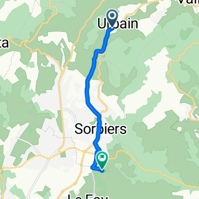
De 17 Lotissement Sorbiers-Soleil, Sorbiers à 17 Lotissement Sorbiers-Soleil, Sorbiers
A cycling route starting in Sorbiers, Auvergne-Rhône-Alpes, France.
Overview
About this route
- 51 min
- Duration
- 12.4 km
- Distance
- 727 m
- Ascent
- 727 m
- Descent
- 14.8 km/h
- Avg. speed
- ---
- Max. altitude
Route quality
Waytypes & surfaces along the route
Waytypes
Quiet road
3 km
(24 %)
Track
1.2 km
(10 %)
Surfaces
Paved
8.1 km
(65 %)
Unpaved
0.1 km
(1 %)
Asphalt
8.1 km
(65 %)
Gravel
0.1 km
(1 %)
Undefined
4.2 km
(34 %)
Continue with Bikemap
Use, edit, or download this cycling route
You would like to ride De 17 Lotissement Sorbiers-Soleil, Sorbiers à 17 Lotissement Sorbiers-Soleil, Sorbiers or customize it for your own trip? Here is what you can do with this Bikemap route:
Free features
- Save this route as favorite or in collections
- Copy & plan your own version of this route
- Sync your route with Garmin or Wahoo
Premium features
Free trial for 3 days, or one-time payment. More about Bikemap Premium.
- Navigate this route on iOS & Android
- Export a GPX / KML file of this route
- Create your custom printout (try it for free)
- Download this route for offline navigation
Discover more Premium features.
Get Bikemap PremiumFrom our community
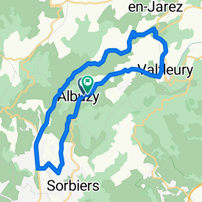
Other popular routes starting in Sorbiers
 col de la gachet
- Distance
- 22.9 km
- Ascent
- 1,046 m
- Descent
- 1,046 m
- Location
- Sorbiers, Auvergne-Rhône-Alpes, France
 Recovered Route
- Distance
- 15.1 km
- Ascent
- 791 m
- Descent
- 716 m
- Location
- Sorbiers, Auvergne-Rhône-Alpes, France
 Montee Kivilev
- Distance
- 9.7 km
- Ascent
- 369 m
- Descent
- 92 m
- Location
- Sorbiers, Auvergne-Rhône-Alpes, France
 De Urbain à Rue de la Calaminiere
- Distance
- 5.7 km
- Ascent
- 76 m
- Descent
- 235 m
- Location
- Sorbiers, Auvergne-Rhône-Alpes, France
 De Urbain à Route de Sorbiers
- Distance
- 17.4 km
- Ascent
- 353 m
- Descent
- 402 m
- Location
- Sorbiers, Auvergne-Rhône-Alpes, France
 x x
x x- Distance
- 1.4 km
- Ascent
- 0 m
- Descent
- 14 m
- Location
- Sorbiers, Auvergne-Rhône-Alpes, France
 De 17 Lotissement Sorbiers-Soleil, Sorbiers à 17 Lotissement Sorbiers-Soleil, Sorbiers
- Distance
- 12.4 km
- Ascent
- 727 m
- Descent
- 727 m
- Location
- Sorbiers, Auvergne-Rhône-Alpes, France
 De 15 Rue de la Buyetière, Sorbiers à 7 Rue de la Buyetière, Sorbiers
- Distance
- 90.8 km
- Ascent
- 2,219 m
- Descent
- 2,226 m
- Location
- Sorbiers, Auvergne-Rhône-Alpes, France
Open it in the app