

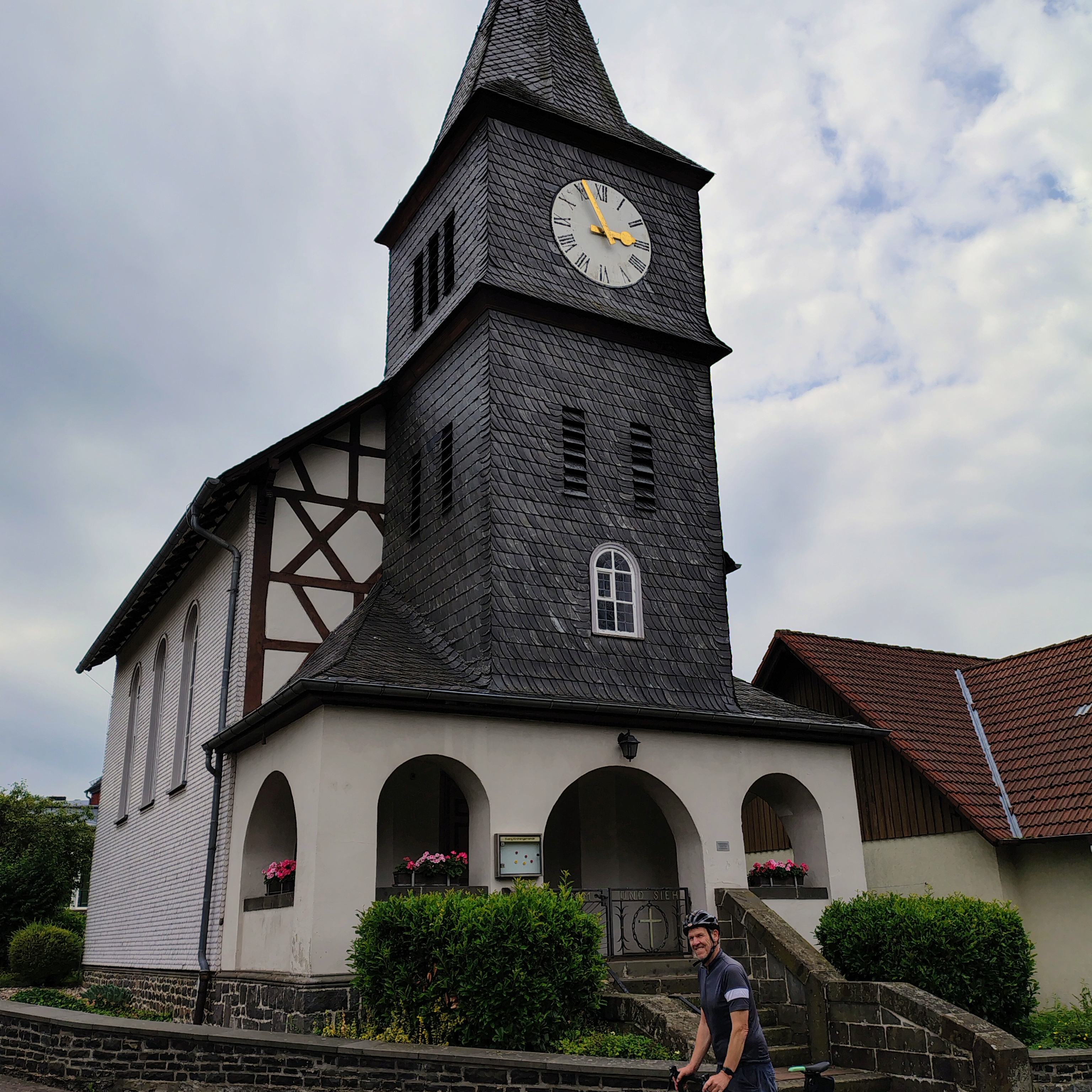
Ober-Ohmen - Herborn
A cycling route starting in Ulrichstein, Hesse, Germany.
Overview
About this route
- -:--
- Duration
- 98.2 km
- Distance
- 350 m
- Ascent
- 458 m
- Descent
- ---
- Avg. speed
- 314 m
- Max. altitude

Route quality
Waytypes & surfaces along the route
Waytypes
Quiet road
31.6 km
(32 %)
Track
31.3 km
(32 %)
Surfaces
Paved
87.5 km
(89 %)
Unpaved
7.8 km
(8 %)
Asphalt
81.7 km
(83 %)
Gravel
5.6 km
(6 %)
Continue with Bikemap
Use, edit, or download this cycling route
You would like to ride Ober-Ohmen - Herborn or customize it for your own trip? Here is what you can do with this Bikemap route:
Free features
- Save this route as favorite or in collections
- Copy & plan your own version of this route
- Split it into stages to create a multi-day tour
- Sync your route with Garmin or Wahoo
Premium features
Free trial for 3 days, or one-time payment. More about Bikemap Premium.
- Navigate this route on iOS & Android
- Export a GPX / KML file of this route
- Create your custom printout (try it for free)
- Download this route for offline navigation
Discover more Premium features.
Get Bikemap PremiumFrom our community
Other popular routes starting in Ulrichstein
 Ober-Ohmen - Herborn
- Distance
- 98.2 km
- Ascent
- 350 m
- Descent
- 458 m
- Location
- Ulrichstein, Hesse, Germany
 Camping Groß-Eichel circular
- Distance
- 39.8 km
- Ascent
- 750 m
- Descent
- 800 m
- Location
- Ulrichstein, Hesse, Germany
 Nidda - Quelle 2 Mündung
- Distance
- 92.9 km
- Ascent
- 59 m
- Descent
- 696 m
- Location
- Ulrichstein, Hesse, Germany
 Ulrichstein-Schotten-Niddastausee
- Distance
- 40 km
- Ascent
- 848 m
- Descent
- 846 m
- Location
- Ulrichstein, Hesse, Germany
 IKK Südwest 2010 Tag 2
- Distance
- 95.2 km
- Ascent
- 636 m
- Descent
- 1,168 m
- Location
- Ulrichstein, Hesse, Germany
 Höhenrundweg am Hoherodskopf
- Distance
- 8.1 km
- Ascent
- 147 m
- Descent
- 147 m
- Location
- Ulrichstein, Hesse, Germany
 Sommertour 2011
- Distance
- 659.5 km
- Ascent
- 924 m
- Descent
- 976 m
- Location
- Ulrichstein, Hesse, Germany
 Badeteich
- Distance
- 2.8 km
- Ascent
- 76 m
- Descent
- 86 m
- Location
- Ulrichstein, Hesse, Germany
Open it in the app