

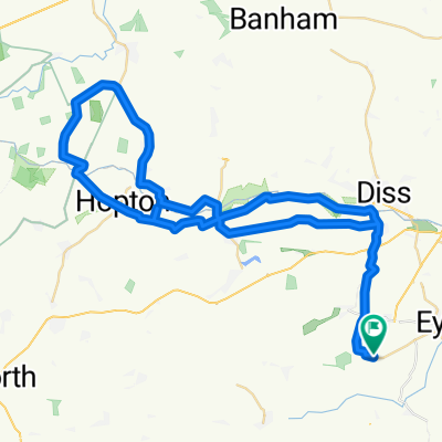
Eye to Thornham Easy Loop
A cycling route starting in Diss, England, United Kingdom.
Overview
About this route
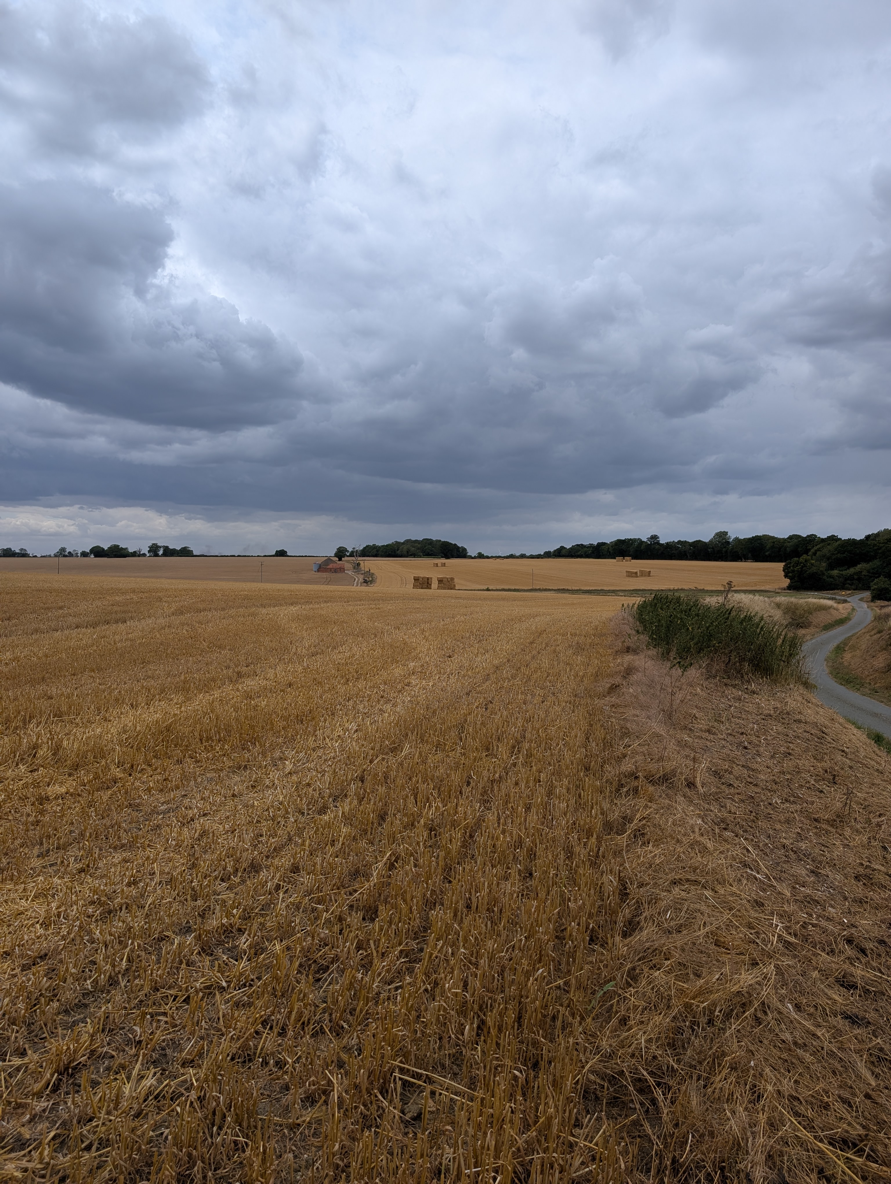
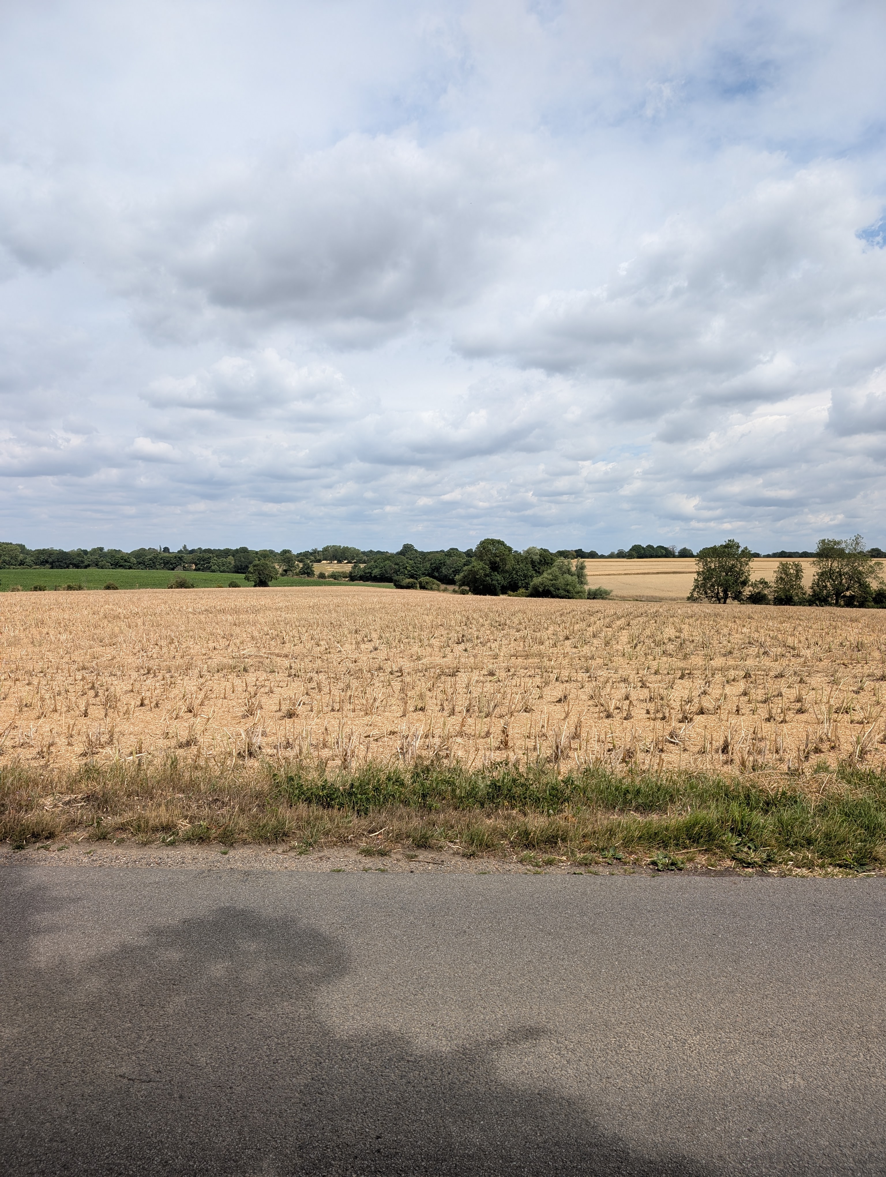
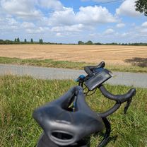
A nice countryside bike ride. Ideal for the family. There are a few hills but nothing challenging.
Take care crossing the busy A140.
- -:--
- Duration
- 28.2 km
- Distance
- 66 m
- Ascent
- 68 m
- Descent
- ---
- Avg. speed
- ---
- Max. altitude
Route quality
Waytypes & surfaces along the route
Waytypes
Quiet road
13 km
(46 %)
Road
12.1 km
(43 %)
Surfaces
Paved
5.4 km
(19 %)
Asphalt
5.4 km
(19 %)
Undefined
22.9 km
(81 %)
Continue with Bikemap
Use, edit, or download this cycling route
You would like to ride Eye to Thornham Easy Loop or customize it for your own trip? Here is what you can do with this Bikemap route:
Free features
- Save this route as favorite or in collections
- Copy & plan your own version of this route
- Sync your route with Garmin or Wahoo
Premium features
Free trial for 3 days, or one-time payment. More about Bikemap Premium.
- Navigate this route on iOS & Android
- Export a GPX / KML file of this route
- Create your custom printout (try it for free)
- Download this route for offline navigation
Discover more Premium features.
Get Bikemap PremiumFrom our community
Other popular routes starting in Diss
 50km loop
- Distance
- 54.4 km
- Ascent
- 212 m
- Descent
- 257 m
- Location
- Diss, England, United Kingdom
 Saint and Sinner
- Distance
- 54.7 km
- Ascent
- 257 m
- Descent
- 254 m
- Location
- Diss, England, United Kingdom
 Lowgate Street to Lowgate Street
- Distance
- 60.8 km
- Ascent
- 269 m
- Descent
- 311 m
- Location
- Diss, England, United Kingdom
 Day 1 - Tuesday 7th September
- Distance
- 58 km
- Ascent
- 141 m
- Descent
- 143 m
- Location
- Diss, England, United Kingdom
 fressingfield loopy loop
- Distance
- 31.8 km
- Ascent
- 142 m
- Descent
- 189 m
- Location
- Diss, England, United Kingdom
 Lowgate Street to Bramley Road
- Distance
- 46.6 km
- Ascent
- 150 m
- Descent
- 182 m
- Location
- Diss, England, United Kingdom
 Lowgate Street to Lowgate Street
- Distance
- 33.2 km
- Ascent
- 154 m
- Descent
- 204 m
- Location
- Diss, England, United Kingdom
 Orchard Close to Lowgate Street
- Distance
- 36.1 km
- Ascent
- 133 m
- Descent
- 189 m
- Location
- Diss, England, United Kingdom
Open it in the app