


via Stegeweg
- 22.7 km
- 66 m
- 77 m
- Frohnau, State of Berlin, Germany
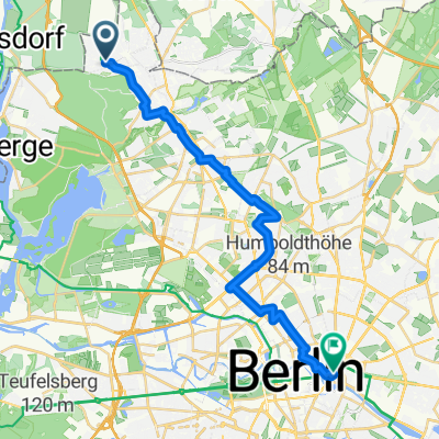
A cycling route starting in Frohnau, State of Berlin, Germany.
Overview
Loop northwest of Berlin through beautiful villages, forests, and fields
Start and finish are at the S-Bahn Frohnau station.
The fully paved roads are unfortunately a bit busier from the start to Hennigsdorf, but after that are pleasant throughout. In some sections there's even a bike path suitable for road bikes.
created this 14 years ago
Route quality
Road
13.7 km
(19 %)
Path
13 km
(18 %)
Paved
58.4 km
(81 %)
Unpaved
3.6 km
(5 %)
Asphalt
56.9 km
(79 %)
Ground
2.9 km
(4 %)
Continue with Bikemap
You would like to ride 70 km nordwestlich über die Dörfer or customize it for your own trip? Here is what you can do with this Bikemap route:
Free trial for 3 days, or one-time payment. More about Bikemap Premium.
Discover more Premium features.
Get Bikemap PremiumFrom our community
Open it in the app


