

Grieskirchen auf a EIS
A cycling route starting in Buchkirchen, Upper Austria, Austria.
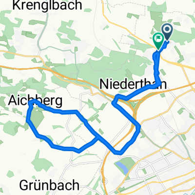
Overview
About this route
- -:--
- Duration
- 44.6 km
- Distance
- 287 m
- Ascent
- 284 m
- Descent
- ---
- Avg. speed
- 438 m
- Max. altitude
Route quality
Waytypes & surfaces along the route
Waytypes
Quiet road
25.9 km
(58 %)
Road
8 km
(18 %)
Surfaces
Paved
14.7 km
(33 %)
Unpaved
1.8 km
(4 %)
Asphalt
13.4 km
(30 %)
Paved (undefined)
1.3 km
(3 %)
Route highlights
Points of interest along the route
Point of interest after 16.5 km
EIS ESSEN
Continue with Bikemap
Use, edit, or download this cycling route
You would like to ride Grieskirchen auf a EIS or customize it for your own trip? Here is what you can do with this Bikemap route:
Free features
- Save this route as favorite or in collections
- Copy & plan your own version of this route
- Sync your route with Garmin or Wahoo
Premium features
Free trial for 3 days, or one-time payment. More about Bikemap Premium.
- Navigate this route on iOS & Android
- Export a GPX / KML file of this route
- Create your custom printout (try it for free)
- Download this route for offline navigation
Discover more Premium features.
Get Bikemap PremiumFrom our community
Other popular routes starting in Buchkirchen
 Waldweg 10, Buchkirchen nach Finklham, Scharten
- Distance
- 7.1 km
- Ascent
- 66 m
- Descent
- 135 m
- Location
- Buchkirchen, Upper Austria, Austria
 Motocross-Strecke Puchberg (Militärgelände)
- Distance
- 4.1 km
- Ascent
- 76 m
- Descent
- 74 m
- Location
- Buchkirchen, Upper Austria, Austria
 Flache Traunroute bis nach Traun
- Distance
- 52.3 km
- Ascent
- 146 m
- Descent
- 146 m
- Location
- Buchkirchen, Upper Austria, Austria
 Flache Traunroute bis (kurz vor) Schwanenstadt
- Distance
- 59.4 km
- Ascent
- 201 m
- Descent
- 200 m
- Location
- Buchkirchen, Upper Austria, Austria
 Grieskirchen auf a EIS
- Distance
- 44.6 km
- Ascent
- 287 m
- Descent
- 284 m
- Location
- Buchkirchen, Upper Austria, Austria
 Puchberg-Fernreith-Puchberg
- Distance
- 17.8 km
- Ascent
- 104 m
- Descent
- 114 m
- Location
- Buchkirchen, Upper Austria, Austria
 Test 8km
- Distance
- 8 km
- Ascent
- 67 m
- Descent
- 67 m
- Location
- Buchkirchen, Upper Austria, Austria
 Hoch und Runter am Sonntag Vormittag
- Distance
- 17.2 km
- Ascent
- 175 m
- Descent
- 177 m
- Location
- Buchkirchen, Upper Austria, Austria
Open it in the app