

Ulvik - Utne
A cycling route starting in Ulvik, Hordaland, Norway.
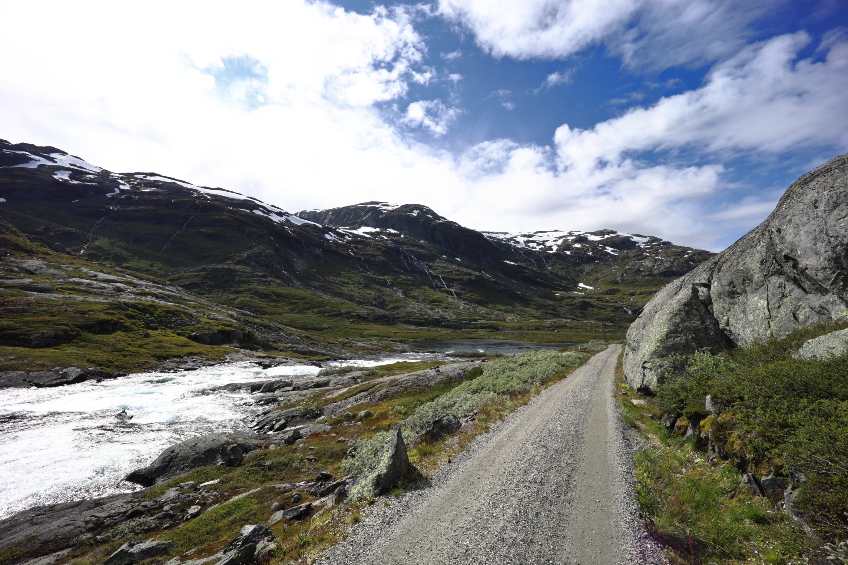
Overview
About this route
Høydeprofilen er ikke korrekt. Det er en tunnel mellom Ulvik og Hardangerfjordbrua, som fremstår som en høy, bratt fjellovergang.
The elevation profile is not correct. There is a tunnel between Ulvik and the Hardangerfjord bridge, which appears as a high, steep mountain pass.
- -:--
- Duration
- 39.1 km
- Distance
- 1,180 m
- Ascent
- 1,181 m
- Descent
- ---
- Avg. speed
- 240 m
- Max. altitude

Route quality
Waytypes & surfaces along the route
Waytypes
Cycleway
24.6 km
(63 %)
Busy road
14 km
(36 %)
Surfaces
Paved
28 km
(72 %)
Asphalt
28 km
(72 %)
Undefined
11.1 km
(28 %)
Continue with Bikemap
Use, edit, or download this cycling route
You would like to ride Ulvik - Utne or customize it for your own trip? Here is what you can do with this Bikemap route:
Free features
- Save this route as favorite or in collections
- Copy & plan your own version of this route
- Sync your route with Garmin or Wahoo
Premium features
Free trial for 3 days, or one-time payment. More about Bikemap Premium.
- Navigate this route on iOS & Android
- Export a GPX / KML file of this route
- Create your custom printout (try it for free)
- Download this route for offline navigation
Discover more Premium features.
Get Bikemap PremiumFrom our community
Other popular routes starting in Ulvik
 Ulvik - Eidfjörd
- Distance
- 49.8 km
- Ascent
- 0 m
- Descent
- 0 m
- Location
- Ulvik, Hordaland, Norway
 Ulvik - Utne
- Distance
- 39.1 km
- Ascent
- 1,180 m
- Descent
- 1,181 m
- Location
- Ulvik, Hordaland, Norway
 10_Ulvik - Bjoreidalstjorna
- Distance
- 62.4 km
- Ascent
- 2,397 m
- Descent
- 1,162 m
- Location
- Ulvik, Hordaland, Norway
 Oslo-Bergen - del 5 (Upsete-Stanghelle)
- Distance
- 106.1 km
- Ascent
- 1,579 m
- Descent
- 2,284 m
- Location
- Ulvik, Hordaland, Norway
 Myrdal nach Bergsoyane Tag 12
- Distance
- 81.6 km
- Ascent
- 898 m
- Descent
- 1,134 m
- Location
- Ulvik, Hordaland, Norway
 9 (b) Ulrik - Kinsarvik - Tyssedal - Skjeggedal
- Distance
- 80.3 km
- Ascent
- 0 m
- Descent
- 0 m
- Location
- Ulvik, Hordaland, Norway
 NOR 004: Mit Rad und Schiff um Ulvik
- Distance
- 77.4 km
- Ascent
- 743 m
- Descent
- 743 m
- Location
- Ulvik, Hordaland, Norway
 9 (a) Ulvik - Eidfjord - Voringsfossen
- Distance
- 49.4 km
- Ascent
- 0 m
- Descent
- 0 m
- Location
- Ulvik, Hordaland, Norway
Open it in the app