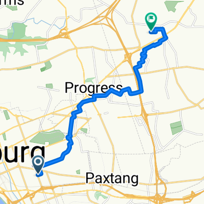
Battlefield Rode Tour
- 148.4 km
- 709 m
- 757 m
- Penbrook, Pennsylvania, United States
Spring 2009 IPO Bike Tour through Gettysburg and Antietam. Route needs proofed for ridability (lanes, safety, etc.)
Free trial for 3 days, or one-time payment. More about Bikemap Premium.
Discover more Premium features.
Get Bikemap PremiumOpen it in the app