
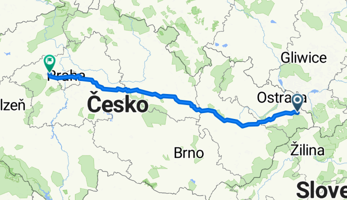
Střítež - Kladno
A cycling route starting in Třinec, Moravskoslezský kraj, Czechia.
Overview
About this route
Stages: 1. Střítež - Mládeč - the longest 2. Mládeč - Luže - the hilliest 3. Luže - Kouřím - the flattest 4. Kouřím - Kladno - the shortest but hardest - crossing Prague Actually ridden 460 km
- -:--
- Duration
- 411.8 km
- Distance
- 1,320 m
- Ascent
- 1,257 m
- Descent
- ---
- Avg. speed
- ---
- Max. altitude

Route quality
Waytypes & surfaces along the route
Waytypes
Road
131.8 km
(32 %)
Quiet road
90.6 km
(22 %)
Surfaces
Paved
173 km
(42 %)
Unpaved
8.2 km
(2 %)
Asphalt
160.6 km
(39 %)
Paved (undefined)
8.2 km
(2 %)
Continue with Bikemap
Use, edit, or download this cycling route
You would like to ride Střítež - Kladno or customize it for your own trip? Here is what you can do with this Bikemap route:
Free features
- Save this route as favorite or in collections
- Copy & plan your own version of this route
- Split it into stages to create a multi-day tour
- Sync your route with Garmin or Wahoo
Premium features
Free trial for 3 days, or one-time payment. More about Bikemap Premium.
- Navigate this route on iOS & Android
- Export a GPX / KML file of this route
- Create your custom printout (try it for free)
- Download this route for offline navigation
Discover more Premium features.
Get Bikemap PremiumFrom our community
Other popular routes starting in Třinec
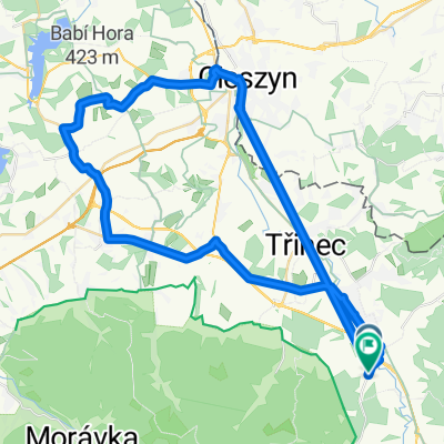 Bystřice do Bystřice
- Distance
- 50.9 km
- Ascent
- 435 m
- Descent
- 454 m
- Location
- Třinec, Moravskoslezský kraj, Czechia
 Podjazd na Gutske sedlo
- Distance
- 2.9 km
- Ascent
- 249 m
- Descent
- 28 m
- Location
- Třinec, Moravskoslezský kraj, Czechia
 1a - pro velmi zdatné cyklisty
- Distance
- 57.9 km
- Ascent
- 1,526 m
- Descent
- 1,065 m
- Location
- Třinec, Moravskoslezský kraj, Czechia
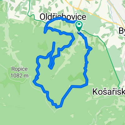
 Třinec-Tyra round trip 02
- Distance
- 30 km
- Ascent
- 677 m
- Descent
- 740 m
- Location
- Třinec, Moravskoslezský kraj, Czechia
 Jaworowy - Ostry
- Distance
- 51.3 km
- Ascent
- 1,528 m
- Descent
- 1,505 m
- Location
- Třinec, Moravskoslezský kraj, Czechia
 K4 nowa
- Distance
- 32.3 km
- Ascent
- 803 m
- Descent
- 801 m
- Location
- Třinec, Moravskoslezský kraj, Czechia
 ligotka a okolí
- Distance
- 27.4 km
- Ascent
- 257 m
- Descent
- 257 m
- Location
- Třinec, Moravskoslezský kraj, Czechia
 Koziniec zimą
- Distance
- 18.8 km
- Ascent
- 339 m
- Descent
- 338 m
- Location
- Třinec, Moravskoslezský kraj, Czechia
Open it in the app