
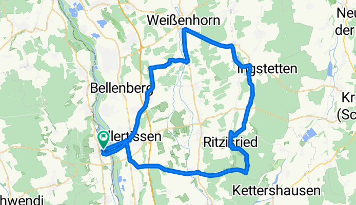

Dietenheim Dorndorf 30 km
- 30.5 km
- 186 m
- 192 m
- Dietenheim, Baden-Wurttemberg, Germany
A cycling route starting in Dietenheim, Baden-Wurttemberg, Germany.
Overview
this is the planned route for May 1st
-- very rural, let's see what the bike paths are like
-- break planned at Roggenburger Weiher
created this 14 years ago
Route quality
Quiet road
19.4 km
(42 %)
Path
10.6 km
(23 %)
Paved
37.8 km
(82 %)
Unpaved
4.1 km
(9 %)
Asphalt
37.3 km
(81 %)
Ground
1.8 km
(4 %)
Continue with Bikemap
You would like to ride 1. Mai - Tour or customize it for your own trip? Here is what you can do with this Bikemap route:
Free trial for 3 days, or one-time payment. More about Bikemap Premium.
Discover more Premium features.
Get Bikemap PremiumFrom our community
Open it in the app


