

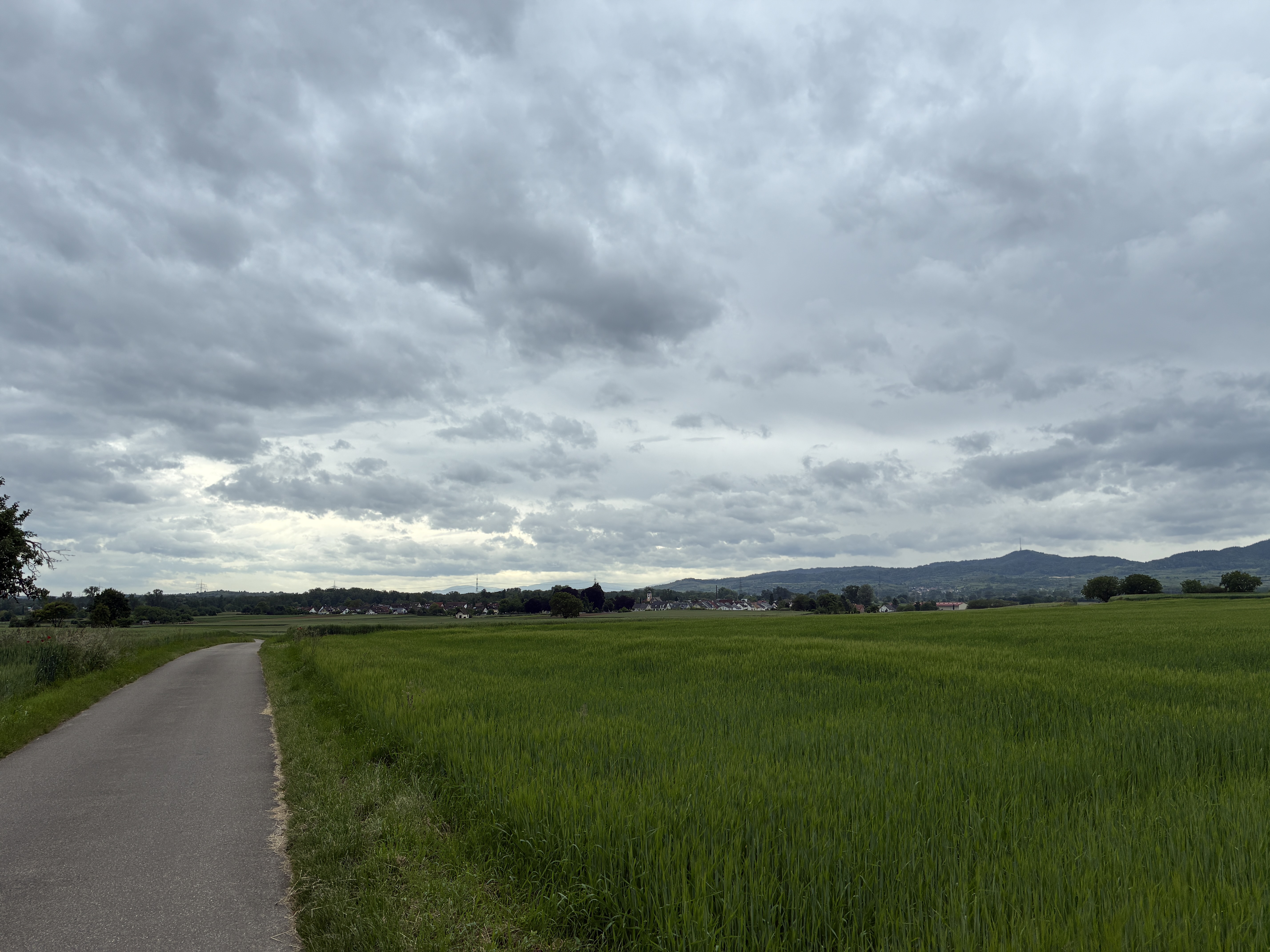
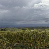
Mundingen - Feldberg (Emmendinger Hütte) Jo72141
A cycling route starting in Teningen, Baden-Wurttemberg, Germany.
Overview
About this route
- -:--
- Duration
- 57 km
- Distance
- 1,397 m
- Ascent
- 306 m
- Descent
- ---
- Avg. speed
- 1,285 m
- Max. altitude
Route quality
Waytypes & surfaces along the route
Waytypes
Track
32.5 km
(57 %)
Quiet road
8 km
(14 %)
Surfaces
Paved
26.8 km
(47 %)
Unpaved
26.8 km
(47 %)
Asphalt
26.2 km
(46 %)
Gravel
16.5 km
(29 %)
Continue with Bikemap
Use, edit, or download this cycling route
You would like to ride Mundingen - Feldberg (Emmendinger Hütte) Jo72141 or customize it for your own trip? Here is what you can do with this Bikemap route:
Free features
- Save this route as favorite or in collections
- Copy & plan your own version of this route
- Sync your route with Garmin or Wahoo
Premium features
Free trial for 3 days, or one-time payment. More about Bikemap Premium.
- Navigate this route on iOS & Android
- Export a GPX / KML file of this route
- Create your custom printout (try it for free)
- Download this route for offline navigation
Discover more Premium features.
Get Bikemap PremiumFrom our community
Other popular routes starting in Teningen
 Heimbach Märchenwiese
- Distance
- 16 km
- Ascent
- 397 m
- Descent
- 397 m
- Location
- Teningen, Baden-Wurttemberg, Germany
 Gottenheim
- Distance
- 35.6 km
- Ascent
- 156 m
- Descent
- 149 m
- Location
- Teningen, Baden-Wurttemberg, Germany
 Eichstetten Endingen Bahlingen
- Distance
- 27.2 km
- Ascent
- 168 m
- Descent
- 163 m
- Location
- Teningen, Baden-Wurttemberg, Germany
 Eichberg_Hochburg_Sexau
- Distance
- 34.6 km
- Ascent
- 804 m
- Descent
- 784 m
- Location
- Teningen, Baden-Wurttemberg, Germany
 1Kaiserstuhlrunde
- Distance
- 61.6 km
- Ascent
- 55 m
- Descent
- 58 m
- Location
- Teningen, Baden-Wurttemberg, Germany
 Route in Teningen
- Distance
- 14.1 km
- Ascent
- 426 m
- Descent
- 408 m
- Location
- Teningen, Baden-Wurttemberg, Germany
 Emmendinger Straße, Teningen nach Reetzenstraße, Teningen
- Distance
- 5.9 km
- Ascent
- 31 m
- Descent
- 34 m
- Location
- Teningen, Baden-Wurttemberg, Germany
 Abendrunde
- Distance
- 16.1 km
- Ascent
- 309 m
- Descent
- 310 m
- Location
- Teningen, Baden-Wurttemberg, Germany
Open it in the app