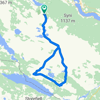
Valtjednvegen, Røn to Valtjednvegen, Røn
- 41.4 km
- 452 m
- 454 m
- Slidre, Oppland, Norway
A cycling route starting in Slidre, Oppland, Norway.
Overview
created this 14 years ago
Route quality
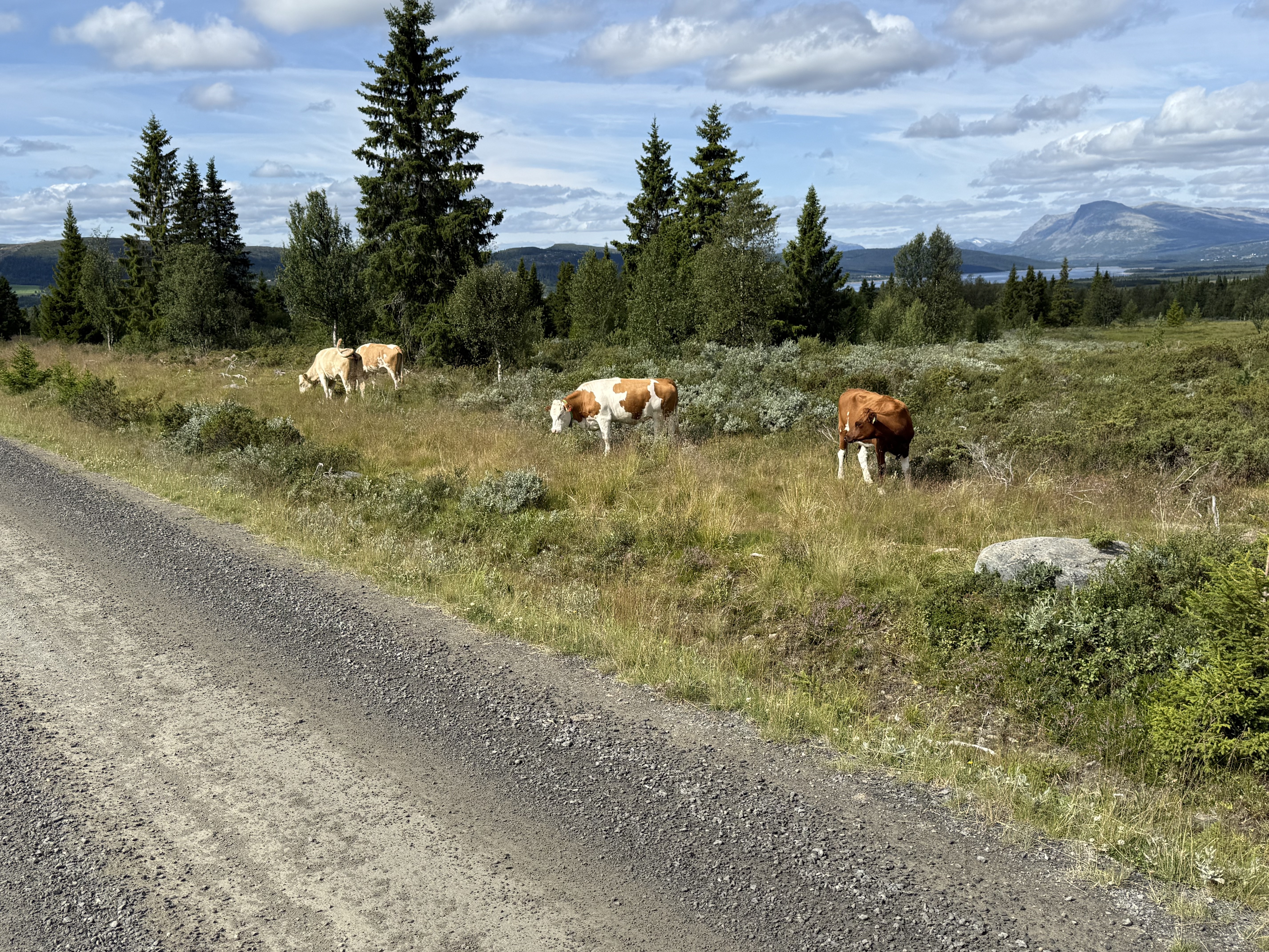
Quiet road
87.7 km
(79 %)
Road
15.5 km
(14 %)
Unpaved
62.2 km
(56 %)
Gravel
56.6 km
(51 %)
Ground
5.6 km
(5 %)
Undefined
48.9 km
(44 %)
Route highlights

Gomobu Fjellstue Vaset, 2960 Røn Tlf: (+47) 61 35 77 10 post@gomobu.no

Nythun Høyfjellstue, Kruk 2900 Fagernes. Tlf: 61 35 79 30, post@nythun.com

Fagernes Camping 61 36 05 10 Tyinvegen 23 2900 Fagernes www.fagernes-camping.no

Nøsen Fjellstue, Panoramaveien, 2960 Røn. Tlf: 61 36 40 40, post@nosen.no

Filefjellstuene, Filefjell 2985 Tyin. Tlf: 61 36 77 48, salg@filefjellstuene.no

Bøflaten Camping, 2875 Vang i Valdres. Tlf: 61367420, info@boflaten.com

Grønolen Fjellgard, Grønolvegen 2952 Beito. Tlf: 61 35 29 90, gronolen@gronolen.no
Continue with Bikemap
You would like to ride Valdres: Rundtur i stølsriket or customize it for your own trip? Here is what you can do with this Bikemap route:
Free trial for 3 days, or one-time payment. More about Bikemap Premium.
Discover more Premium features.
Get Bikemap PremiumFrom our community
Open it in the app