

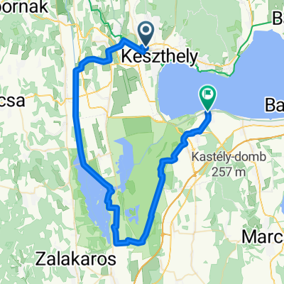
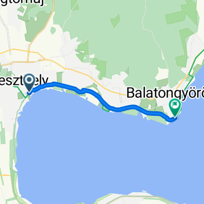
József Attila utca 2, Keszthely to Felsőcsetényi utca 1908, Balatongyörök
A cycling route starting in Keszthely, Zala County, Hungary.
Overview
About this route
- 2 h 12 min
- Duration
- 15.2 km
- Distance
- 162 m
- Ascent
- 149 m
- Descent
- 6.9 km/h
- Avg. speed
- ---
- Max. altitude

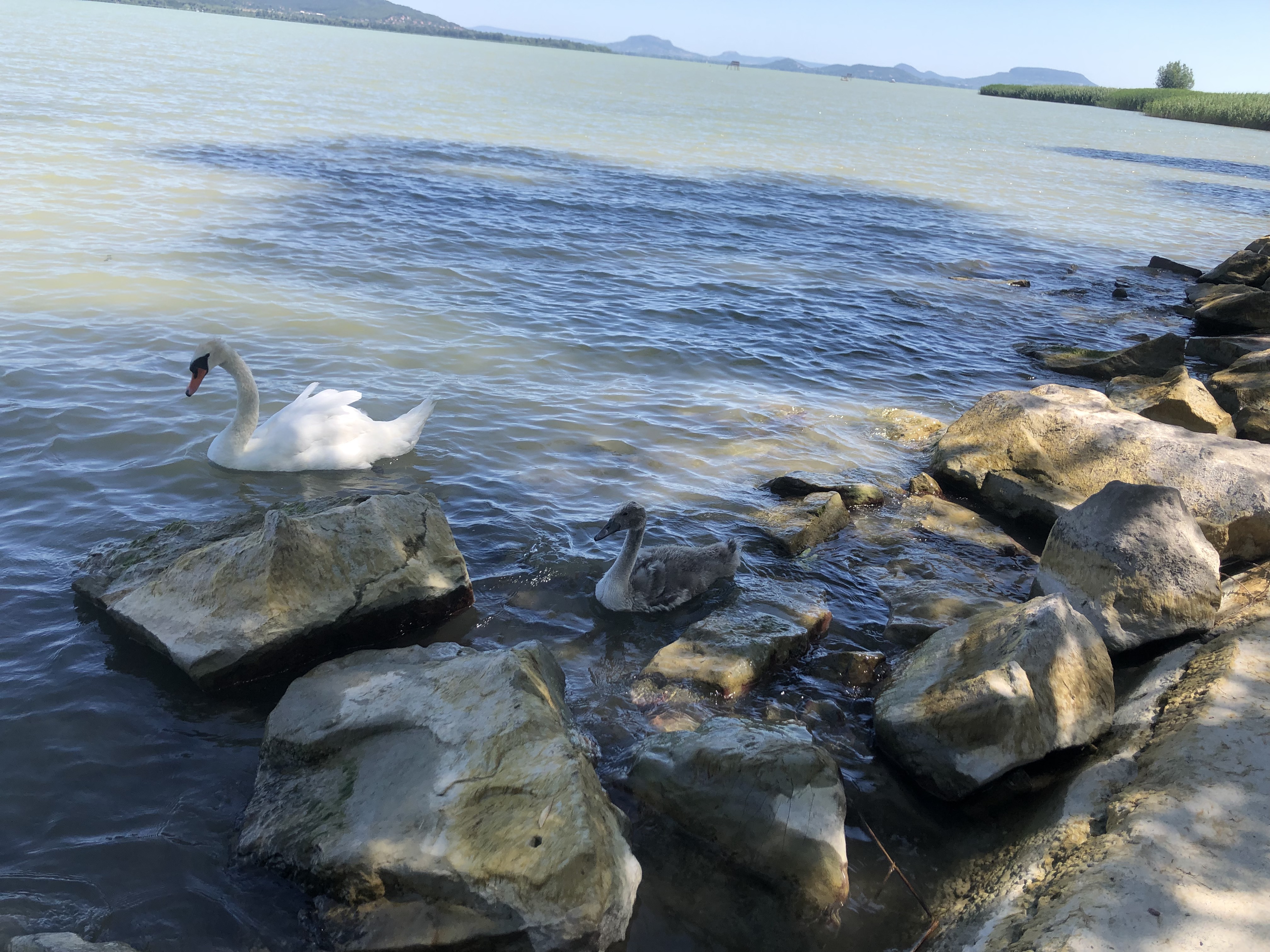
Route photos


Route quality
Waytypes & surfaces along the route
Waytypes
Cycleway
10.2 km
(67 %)
Quiet road
3.2 km
(21 %)
Surfaces
Paved
13.2 km
(87 %)
Unpaved
0.9 km
(6 %)
Asphalt
13.2 km
(87 %)
Unpaved (undefined)
0.3 km
(2 %)
Continue with Bikemap
Use, edit, or download this cycling route
You would like to ride József Attila utca 2, Keszthely to Felsőcsetényi utca 1908, Balatongyörök or customize it for your own trip? Here is what you can do with this Bikemap route:
Free features
- Save this route as favorite or in collections
- Copy & plan your own version of this route
- Sync your route with Garmin or Wahoo
Premium features
Free trial for 3 days, or one-time payment. More about Bikemap Premium.
- Navigate this route on iOS & Android
- Export a GPX / KML file of this route
- Create your custom printout (try it for free)
- Download this route for offline navigation
Discover more Premium features.
Get Bikemap PremiumFrom our community
Other popular routes starting in Keszthely
 József Attila utca 2, Keszthely to Felsőcsetényi utca 1908, Balatongyörök
- Distance
- 15.2 km
- Ascent
- 162 m
- Descent
- 149 m
- Location
- Keszthely, Zala County, Hungary
 Körül-belül (Balaton, 10 óra)
- Distance
- 203 km
- Ascent
- 243 m
- Descent
- 242 m
- Location
- Keszthely, Zala County, Hungary
 7. B.berény-Keszthely
- Distance
- 57.2 km
- Ascent
- 193 m
- Descent
- 230 m
- Location
- Keszthely, Zala County, Hungary
 Keszthely - Ady Endre utca
- Distance
- 58 km
- Ascent
- 1,021 m
- Descent
- 1,027 m
- Location
- Keszthely, Zala County, Hungary
 Tapolcai út, Keszthely - Radnóti Miklós utca, Balatonszárszó
- Distance
- 62.2 km
- Ascent
- 77 m
- Descent
- 72 m
- Location
- Keszthely, Zala County, Hungary
 Móló - Badacsony
- Distance
- 28.2 km
- Ascent
- 109 m
- Descent
- 107 m
- Location
- Keszthely, Zala County, Hungary
 10. Tag Keszthely bis Ságod
- Distance
- 59 km
- Ascent
- 870 m
- Descent
- 807 m
- Location
- Keszthely, Zala County, Hungary
 Ady Endre utca, Keszthely - Balaton utca, Balatongyörök
- Distance
- 9.1 km
- Ascent
- 38 m
- Descent
- 35 m
- Location
- Keszthely, Zala County, Hungary
Open it in the app