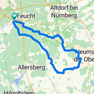
Perlenkette Rednitztal - Penzendorf Anfahrt über Wöhrdersee nach Fürth
- 63.7 km
- 411 m
- 414 m
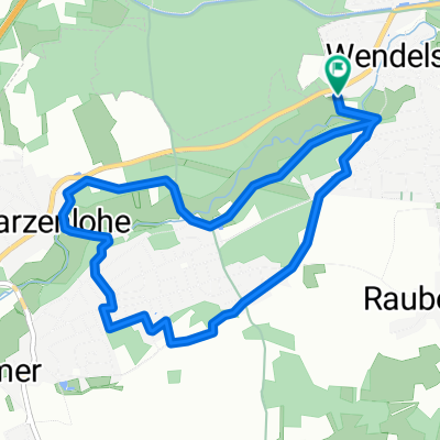
- Wendelstein, Bavaria, Germany
A cycling route starting in Wendelstein, Bavaria, Germany.
Overview
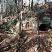
Kettlersiedlung - Biergarten 'Brückkanal' - Kettlersiedlung
created this 14 years ago
Route quality
Track
10.5 km
(42 %)
Path
8.8 km
(35 %)
Paved
6 km
(24 %)
Unpaved
18.8 km
(75 %)
Gravel
16.3 km
(65 %)
Asphalt
5.8 km
(23 %)
Route highlights
Nürnberg Kettlersiedlung - Biergarten "Brückkanal" - Kettlersiedlung
Continue with Bikemap
You would like to ride Kettlersiedlung - Biergarten "Brückkanal" - Kettlersiedlung or customize it for your own trip? Here is what you can do with this Bikemap route:
Free trial for 3 days, or one-time payment. More about Bikemap Premium.
Discover more Premium features.
Get Bikemap PremiumFrom our community
Open it in the app