

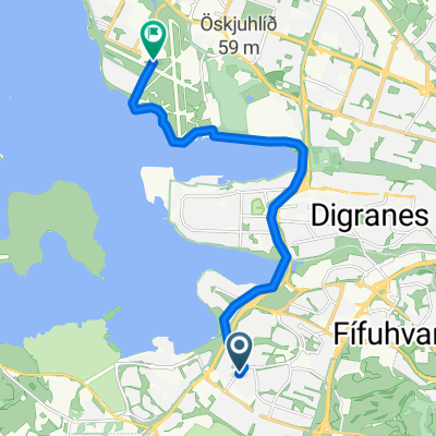
hfj-heidmork-thingvellir-moso-hfj
A cycling route starting in Garðabaer, Capital Region, Iceland.
Overview
About this route
- -:--
- Duration
- 105.2 km
- Distance
- 718 m
- Ascent
- 717 m
- Descent
- ---
- Avg. speed
- ---
- Max. altitude
Route quality
Waytypes & surfaces along the route
Waytypes
Busy road
60.5 km
(58 %)
Cycleway
14.6 km
(14 %)
Surfaces
Paved
88.2 km
(84 %)
Unpaved
13.3 km
(13 %)
Asphalt
87.4 km
(83 %)
Gravel
9.9 km
(9 %)
Continue with Bikemap
Use, edit, or download this cycling route
You would like to ride hfj-heidmork-thingvellir-moso-hfj or customize it for your own trip? Here is what you can do with this Bikemap route:
Free features
- Save this route as favorite or in collections
- Copy & plan your own version of this route
- Split it into stages to create a multi-day tour
- Sync your route with Garmin or Wahoo
Premium features
Free trial for 3 days, or one-time payment. More about Bikemap Premium.
- Navigate this route on iOS & Android
- Export a GPX / KML file of this route
- Create your custom printout (try it for free)
- Download this route for offline navigation
Discover more Premium features.
Get Bikemap PremiumFrom our community
Other popular routes starting in Garðabaer
 Lyngmóar Ólafsgeisli
- Distance
- 11 km
- Ascent
- 135 m
- Descent
- 87 m
- Location
- Garðabaer, Capital Region, Iceland
 haf-kef
- Distance
- 38.1 km
- Ascent
- 160 m
- Descent
- 167 m
- Location
- Garðabaer, Capital Region, Iceland
 DB-Álftaneshringur
- Distance
- 18.8 km
- Ascent
- 38 m
- Descent
- 34 m
- Location
- Garðabaer, Capital Region, Iceland
 Garðabær Hafnarfjörður
- Distance
- 4 km
- Ascent
- 13 m
- Descent
- 34 m
- Location
- Garðabaer, Capital Region, Iceland
 Gravel Vigdísarvellir-Kleifarvatn
- Distance
- 79.2 km
- Ascent
- 514 m
- Descent
- 516 m
- Location
- Garðabaer, Capital Region, Iceland
 Lyngmóar Reykjavíkurflugvöllur
- Distance
- 7.7 km
- Ascent
- 79 m
- Descent
- 108 m
- Location
- Garðabaer, Capital Region, Iceland
 Heiðmörk
- Distance
- 16.1 km
- Ascent
- 22 m
- Descent
- 4 m
- Location
- Garðabaer, Capital Region, Iceland
 lauga to vallakor
- Distance
- 9.2 km
- Ascent
- 40 m
- Descent
- 133 m
- Location
- Garðabaer, Capital Region, Iceland
Open it in the app