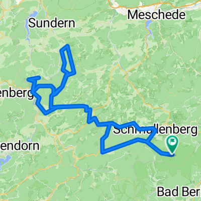
Schmallenberg - Köln
- 140 km
- 1,587 m
- 1,937 m
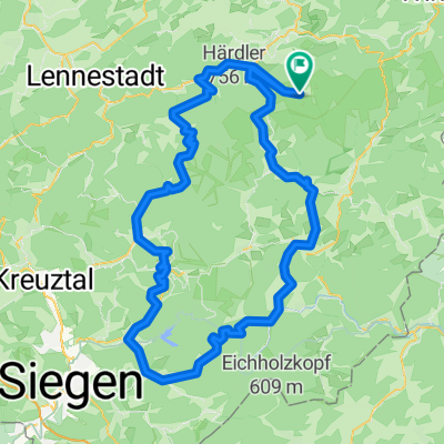
- Schmallenberg, North Rhine-Westphalia, Germany
A cycling route starting in Schmallenberg, North Rhine-Westphalia, Germany.
Overview
created this 15 years ago
Route quality
Cycleway
31.4 km
37 %
Path
15.3 km
18 %
Paved
74.6 km
(88 %)
Unpaved
5.1 km
(6 %)
Asphalt
73.7 km
87 %
Gravel
2.5 km
3 %
Continue with Bikemap
You would like to ride 2011-05-05: Sauerlandring or customize it for your own trip? Here is what you can do with this Bikemap route:
Free trial for 3 days, or one-time payment. More about Bikemap Premium.
Discover more Premium features.
Get Bikemap PremiumFrom our community
Open it in the app