Rauf zum Malepartus
- 24.5 km
- 207 m
- 210 m
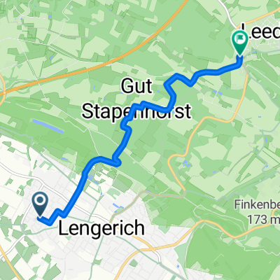
- Lengerich, North Rhine-Westphalia, Germany
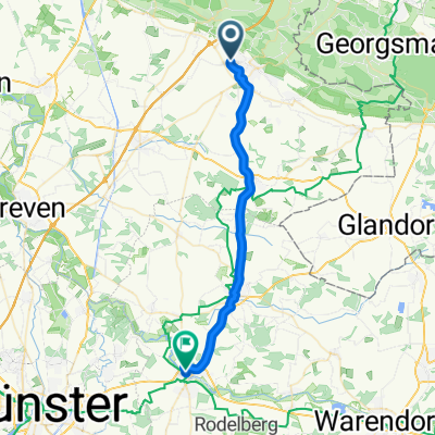
A cycling route starting in Lengerich, North Rhine-Westphalia, Germany.
Overview
It goes through Lengerich-Lienen-Malepartus-Tecklenburg-Dörenthe-Brochterbeck-Tecklenburg-Lengerich.
Very challenging and hilly route.
Route quality
Quiet road
13.1 km
(19 %)
Road
10.3 km
(15 %)
Paved
42.6 km
(62 %)
Unpaved
0.7 km
(1 %)
Asphalt
41.2 km
(60 %)
Paved (undefined)
1.4 km
(2 %)
Continue with Bikemap
You would like to ride Teuto-Runde I CLONED FROM ROUTE 290952 or customize it for your own trip? Here is what you can do with this Bikemap route:
Free trial for 3 days, or one-time payment. More about Bikemap Premium.
Discover more Premium features.
Get Bikemap PremiumFrom our community
Open it in the app