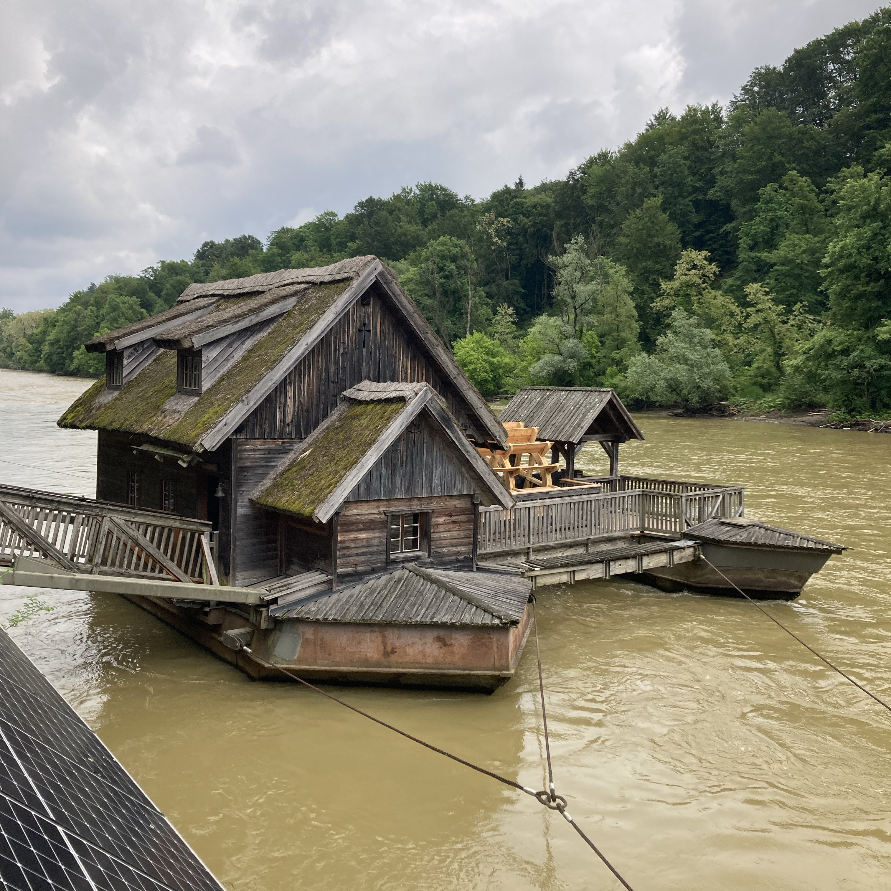
Mur6: Bad Radkersburg - Egyeduta, 86,4km, 46hm
A cycling route starting in Gornja Radgona, Gornja Radgona, Slovenia.
Overview
About this route
Bad Radkersburg = Grenze Slowenien = Gornja Radgona - Sratovci - Radenci - Rihtarovci - Turjanci - Hrastje-Mota - Vucja vas - Stara Nova vas - Verzej - Zgornje Krapje - Mota - Razkrizje - Safarsko - Gibina = Grenze Kroatien = Bukovje - Lapsina - Jurovec - Brezovec - Sveti Martin na Muri - Vrhovljan - Zabnik - Marof - Hlapicina - Mursko Sredisce-zapad - Mursko Sredisce - Peklenica - Krizovec - Podturen - Novakovec - GP Gorican - Netenye = Grenze Ungarn = Letenye - Egyeduta Radics Panzió Étterem és Pihenő Központ, Letenye, Rákóczi Ferenc u. 98, 8868 Ungarn (3 Sterne Hotel, €67
- -:--
- Duration
- 86.4 km
- Distance
- 46 m
- Ascent
- 110 m
- Descent
- ---
- Avg. speed
- 213 m
- Max. altitude
Route quality
Waytypes & surfaces along the route
Waytypes
Track
29.6 km
(34 %)
Busy road
27.8 km
(32 %)
Surfaces
Paved
48.6 km
(56 %)
Unpaved
27 km
(31 %)
Asphalt
48.6 km
(56 %)
Gravel
22.3 km
(26 %)
Route highlights
Points of interest along the route
Photo after 33.3 km
Irgendwo hier soll ein Wasserfall sein
Point of interest after 47 km
Badestelle?
Point of interest after 48.1 km
Badestelle Mur an der Bar
Point of interest after 55.9 km
Furt - evtl Badestelle?
Point of interest after 58.6 km
Badestelle
Point of interest after 59.7 km
Badestelle?
Point of interest after 62.1 km
Badestelle Podturen
Point of interest after 70.3 km
Badestelle?
Point of interest after 79.1 km
Übernachtung Stari krov Kolodvorska ul. 52D, 40320, Donji Kraljevec, Kroatien
Continue with Bikemap
Use, edit, or download this cycling route
You would like to ride Mur6: Bad Radkersburg - Egyeduta, 86,4km, 46hm or customize it for your own trip? Here is what you can do with this Bikemap route:
Free features
- Save this route as favorite or in collections
- Copy & plan your own version of this route
- Split it into stages to create a multi-day tour
- Sync your route with Garmin or Wahoo
Premium features
Free trial for 3 days, or one-time payment. More about Bikemap Premium.
- Navigate this route on iOS & Android
- Export a GPX / KML file of this route
- Create your custom printout (try it for free)
- Download this route for offline navigation
Discover more Premium features.
Get Bikemap PremiumFrom our community
Other popular routes starting in Gornja Radgona
 Klöcher Weinstraße
- Distance
- 47.4 km
- Ascent
- 357 m
- Descent
- 355 m
- Location
- Gornja Radgona, Gornja Radgona, Slovenia
 Obmurka
- Distance
- 99.1 km
- Ascent
- 82 m
- Descent
- 81 m
- Location
- Gornja Radgona, Gornja Radgona, Slovenia
 schloss-tour_-_grad_148948882
- Distance
- 44.6 km
- Ascent
- 373 m
- Descent
- 374 m
- Location
- Gornja Radgona, Gornja Radgona, Slovenia
 BadRadkersburg BdGleichenbg
- Distance
- 63.5 km
- Ascent
- 306 m
- Descent
- 308 m
- Location
- Gornja Radgona, Gornja Radgona, Slovenia
 55 km radkersburg-verzej-radkersburg
- Distance
- 54.8 km
- Ascent
- 168 m
- Descent
- 168 m
- Location
- Gornja Radgona, Gornja Radgona, Slovenia
 Bad Radkersburg nach Leibnitz
- Distance
- 62 km
- Ascent
- 605 m
- Descent
- 551 m
- Location
- Gornja Radgona, Gornja Radgona, Slovenia
 Mur6: Bad Radkersburg - Egyeduta, 86,4km, 46hm
- Distance
- 86.4 km
- Ascent
- 46 m
- Descent
- 110 m
- Location
- Gornja Radgona, Gornja Radgona, Slovenia
 bad radkersburg - klöcher runde
- Distance
- 34.4 km
- Ascent
- 344 m
- Descent
- 345 m
- Location
- Gornja Radgona, Gornja Radgona, Slovenia
Open it in the app


